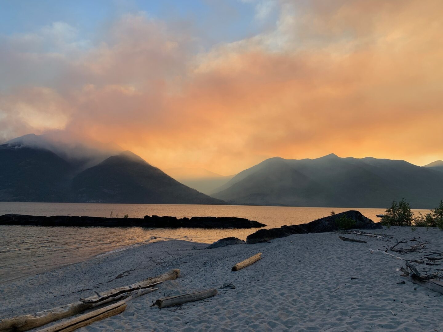
Natural, accident or arson? Wildfire season begins each spring when heat, wind and dry vegetation fuel fires that can last for days and move incredibly quickly. Between April and September, about 8,000 wildfires are reported annually across the country, and when they encroach on communities, the risks to humans multiply. While climate change exacerbates the fire risk, humans start more than half of all wildfires — sometimes intentionally. And they invariably leave evidence behind.
With smoke in the air and the ground still smoldering, fire investigators and handlers with sniffer dogs arrive on the scene in a wildfire’s wake. They look for burn patterns in the grass or trees, deeply scorched areas and any signs that an accelerant, like gasoline or diesel, was used. They want to know where the fire originated and what — or who — started it. The dogs sniff out potential accelerants and investigators take samples.
The annual economic costs of arson cases of all types is around $400 million, but only about 10 per cent are resolved in courts. The solve and convict rates for wildfire arson are even lower. One explanation for the low conviction rate is the way fire-scene soil samples are analyzed. A technique called gas chromatography mass spectrometry is a common and relatively cheap tool for investigators, but this technology often struggles to separate the faint chemical fingerprint of potential accelerants from the “background signals” — the burnt remains of trees, grasses and soil that are mixed in with the sample. The muddied data matches the dog’s nose only 20 per cent of the time. In other words, the dog has sniffed out an accelerant, but the lab results can’t prove it. This makes for evidence that’s rarely strong enough to warrant a conviction in court.
Two Calgary-based environmental forensic scientists say there’s a better way. Gwen O’Sullivan, a professor at Mount Royal University in Calgary, and Court Sandau, owner of environmental consulting firm Chemistry Matters, head the first lab in Canada to analyze wildfire field samples using a technique known as two-dimensional gas chromatography (because the samples pass through two different separation stages). Simply put, this technique allows researchers to more finely separate complex mixtures to detect compounds at very low levels. The technique is so sensitive that it can fingerprint up to 800 components in diesel, compared with around 200 using a one-dimensional technique. The lab findings align with the dog’s nose about 85 per cent of the time.
So why is this technique not being used everywhere? Cost is one barrier; the challenge of applying a new technology is another. But it might be just a matter of time. Arson investigators have been sending O’Sullivan samples in the hopes of getting better data and upping conviction rates. “This technique gets us better quality data, so in the long run, it reduces the cost,” O’Sullivan says. “Plus it allows us to add that extra layer of information, so when we go to court, the dataset is bulletproof.”


