Places
Ultimate Canadian Geography Quiz: How well do you know the 49th parallel?
The 49th parallel forms a major part of Canada’s southern border with the United States. Test your geography smarts with our ultimate quiz!
- 2769 words
- 12 minutes
People & Culture
United by geography yet split by a border, these cities grapple with new and potential changes as the trade war between Canada and the U.S. escalates

Since his return to office on Jan. 20, 2025, United States President Donald Trump’s incendiary comments about Canada have sparked an unprecedented level of concern about Canadian sovereignty. Trump has mused about using “economic force” to absorb Canada, and his on-again, off-again tariffs on Canadian goods have been seen by many as a fulfillment of this threat. Canadian Prime Minister Justin Trudeau called Trump’s desire to absorb Canada a “real thing.”
Trump’s rhetoric and actions have incited uncertainty, apprehension and anger between Canada and the U.S., which sit on either side of the longest undefended border in the world. The communities most affected are likely to be those right on this divide, many of which are heavily reliant on the economy and resources of their neighbouring country and have counted on this interconnectedness for centuries.
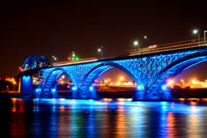
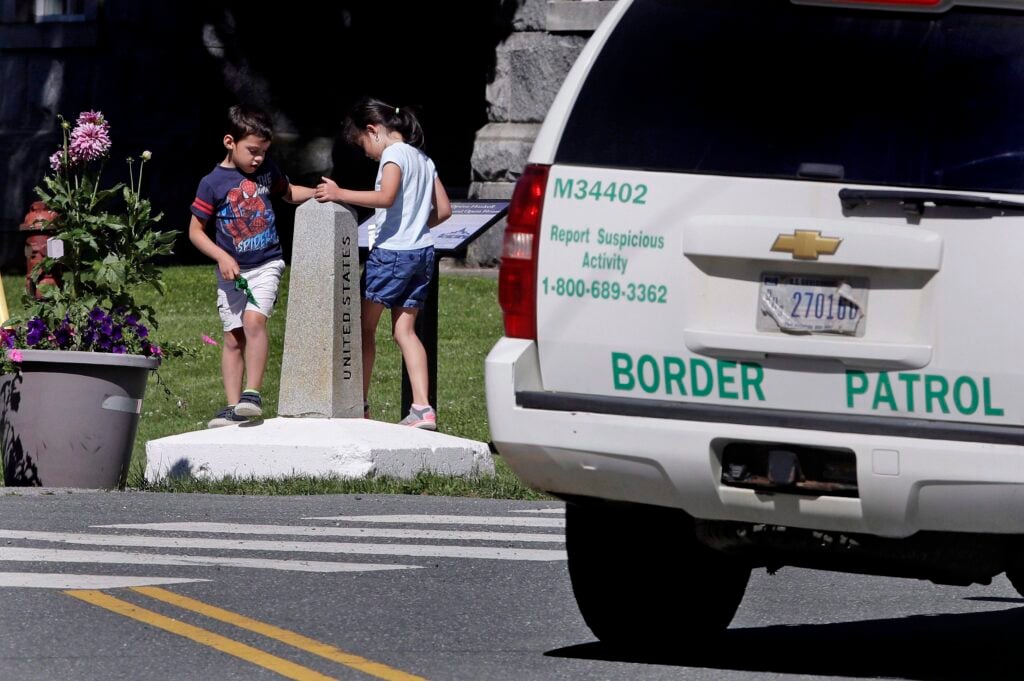
The Peace Arch, on the border between Surrey, B.C., and Blaine, Washington, was built to commemorate the centennial of the end of the War of 1812 — the last open conflict between the U.S. and what is now Canada. The inscriptions on the arch read: “Children of a Common Mother,” “Brethren Dwelling Together in Unity,” and “May These Gates Never Be Closed.” The roughly 20-metre-high arch celebrates the long history of peace and friendship between these two countries.
“If they got it over 120 years ago, what right does this character have to come along and undermine all of that?” asks Brian Calder, resident of Point Roberts, Washington.
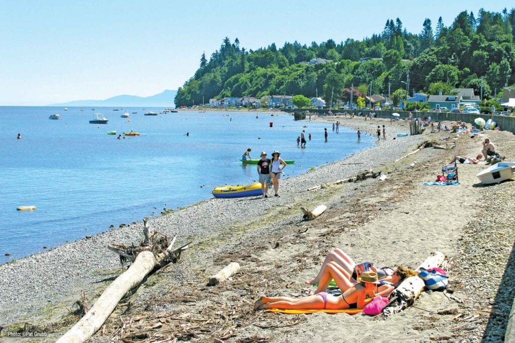
Only a half-hour drive from the Peace Arch is Point Roberts. But to get there, you’d have to drive through B.C. — that’s because Point Roberts is on the southern tip of the Tsawwassen Peninsula, the northern part of which belongs to Canada.
The Oregon Treaty of 1846, which split the U.S. and what is now Canada along the 49th parallel up to the Pacific Coast, cut the Tsawwassen Peninsula in two. Point Roberts’ geographic isolation from the rest of the U.S. means it relies on Canada for most of its resources. Its potable water comes from Metro Vancouver, and its electricity, lighting and heating come from B.C. Hydro, while 90 per cent of its economic activity comes from Canada, though business has slowed since Trump first announced tariffs on March 4, 2025
Brian Calder, a longtime resident whose family came to Point Roberts in 1895, is concerned that a trade war could mean that the B.C. government drastically increases the price on hydro exports to the U.S. or even cuts them off entirely. “That would wipe out Point Roberts,” says Calder. “Someone needs to take Mr. Trump to the Peace Arch and read him those inscriptions, and remind him of our history as allies,” he adds.
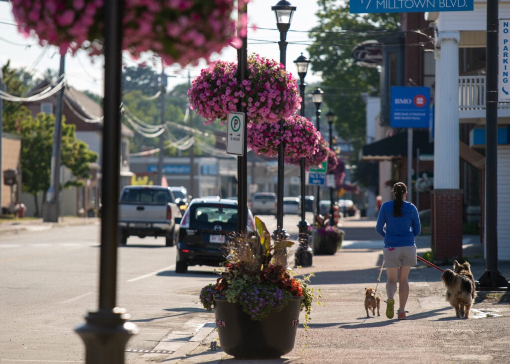
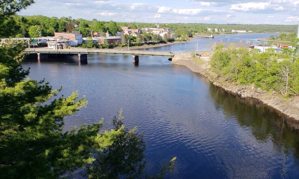
St. Stephen, N.B., residents regularly travel to neighbouring Calais, Maine, to visit family or shop for groceries. The towns are only separated by a narrow stretch of the St. Croix River. Like in Point Roberts, though, tariffs have lately caused a drop in cross-border economic activity.
This is unusual for two towns that have only ever had friendly relations. They share fire stations and emergency services. Every summer, the mayors of each town meet at the international boundary to shake hands and celebrate the closeness of their communities, a tradition that began in 1974. There is a local legend that, during the War of 1812, residents of St. Stephen gave their supply of gunpowder to Calais so that the Americans could use it in their Fourth of July celebrations.
Some residents describe tensions along the St. Stephen-Calais border as the highest they have ever been. Mayor Allan MacEachern of St. Stephen has said dividing St. Stephen and Calais is like splitting “two halves of a circle.”
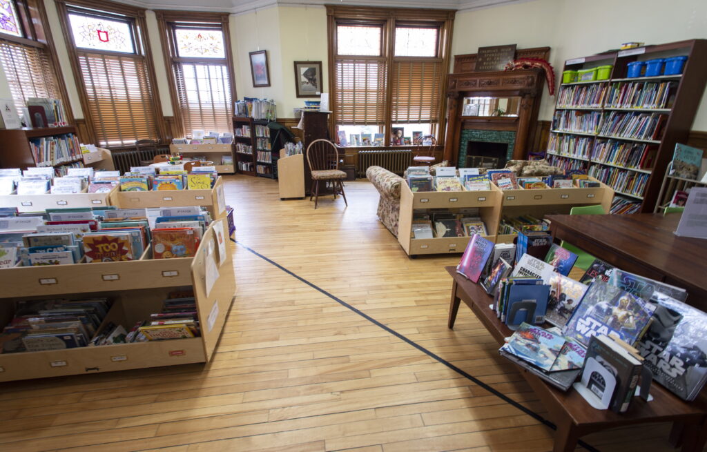
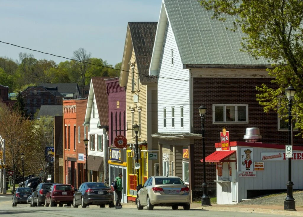
Stanstead, Que., and Derby Line, Vermont, are so interconnected that they share a library, right on the international line. “We are one big community,” says Sylvie Boudreau, president of the board of trustees at the Haskell Free Library & Opera House, about the relationship between the two towns. She explains that most residents have family on both sides, like in St. Stephen and Calais.
Boudreau says that when Martha Stewart Haskell, a Canadian-American heiress, built the library at the turn of the 20th century, locals mostly behaved as if there were no border.
The library’s entrance is on the American side, though Canadians can freely cross along a designated sidewalk even today. Boudreau is concerned that the recent focus on the border could mean tightening restrictions, such as allowing Canadians to no longer use this sidewalk, making the library less accessible.
“Martha Stewart Haskell wanted to unite both communities in literacy, arts and culture,” says Boudreau. “It’s important to keep this going.”
Places
The 49th parallel forms a major part of Canada’s southern border with the United States. Test your geography smarts with our ultimate quiz!

Science & Tech
The Vice-President of Global Business Environment and head of the Shell Scenarios team discusses the Future Cities project and how Canadian cities can be more sustainable
History
A look back at the early years of the 350-year-old institution that once claimed a vast portion of the globe
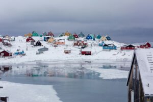
People & Culture
Indigenous Greenlanders, who endured centuries of colonialism from Denmark, now face a new threat from Donald Trump’s United States