
People & Culture
On thin ice: Who “owns” the Arctic?
As the climate heats up, so do talks over land ownership in the Arctic. What does Canadian Arctic Sovereignty look like as the ice melts?
- 4353 words
- 18 minutes
This article is over 5 years old and may contain outdated information.
Mapping
Follow icebergs on their journey from the Arctic on interactive map

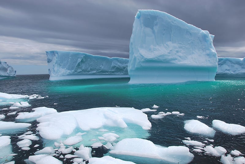
Ships hate them, but tourists flock to Newfoundland to see them. The province boasts some of the best and most accessible spots to see icebergs, but it’s interesting to remember that those giant floating blocks of ice have traveled thousands of kilometers. Starting most likely on the west coast of Greenland (over 90 per cent of icebergs are calved from the glaciers there), they would have drifted on the current for between one and three years before reaching the Grand Banks, at which point it can take a variety of different directions. This map helps illustrate the main path of Canada’s icebergs, and offers some interesting facts about them.
This story is from the October 2015 Issue
People & Culture
As the climate heats up, so do talks over land ownership in the Arctic. What does Canadian Arctic Sovereignty look like as the ice melts?

Travel
Newly-revamped “Iceberg Finder” makes it easy for visitors to find the best spots in Newfoundland for iceberg viewing

Mapping
Maps have long played a critical role in video games, whether as the main user interface, a reference guide, or both. As games become more sophisticated, so too does the cartography that underpins them.

People & Culture
Set off on some incredible adventures with George Kourounis as we explore icebergs in the North Atlantic, Africa’s most active volcano and more