People & Culture
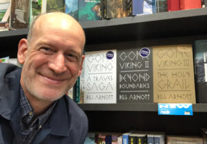
Gone Viking with Bill Arnott
Episode 83
Bestselling author Bill Arnott discusses his work as a writer tracing the voyages of Vikings around the world
- 32 minutes
People & Culture
In his latest book, best-selling author Bill Arnott takes readers on a stroll along the shores of Vancouver while providing personal insights into the city’s history

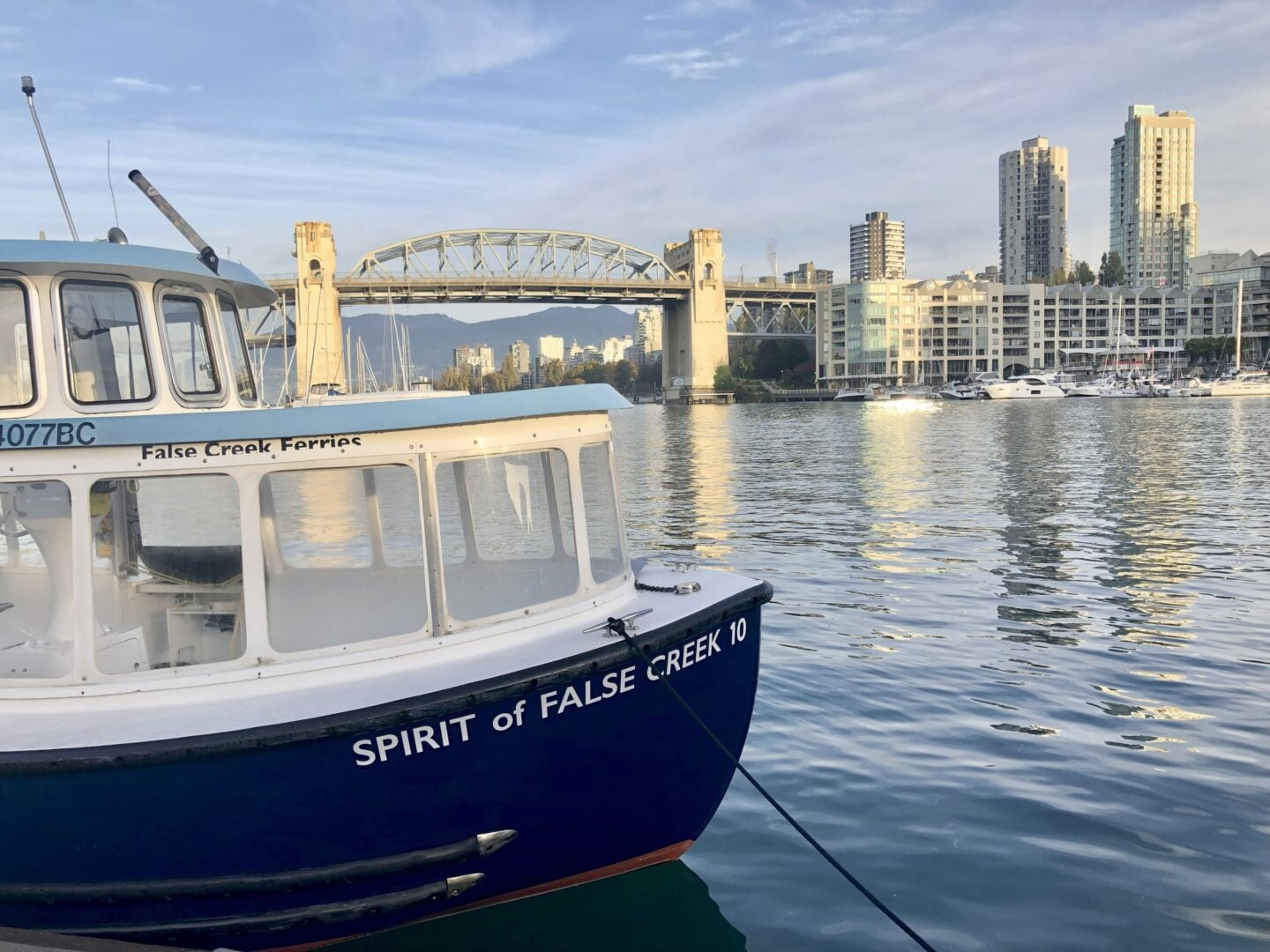
It was that time again. Time for a stroll. The day, ideal. What I consider a perfect day for a walk, irrespective of weather. No such thing as bad weather, just inappropriate clothing. That’s the cliché. But as a resident of Canada’s West Coast, when we want to spend time outside we can’t be deterred by the elements. Living near mountains and sea brings rainfall and wind. Nice sailing conditions but this is an environment suited to umbrellas and jackets for much of the year.
This notion of perfect day walks, ignoring the occasional cloudburst while relishing sunshine and warmth, started a short while ago. I was meeting one of my publishers to discuss what we’d create, what would make for an interesting, inspirational read along with it being a challenge. What we came up with was a book called A Perfect Day for a Walk: The History, Cultures, and Communities of Vancouver, on Foot. In which I explore the city I live in much of the year but doing so on foot, to embrace the wonder and sense of discovery associated with exploration and travel. The result is both incentive and inducement for each of us to take a fresh look at surrounds: depths of culture and history, narrative mosaics, while finding harmonic moments by tapping into the heartbeat of nature. Interactions with locals, experts, and fellow explorers became an integral part of each walk. New perspectives merged with each contribution—some current, some ancient—to create a time bending, real-time story. Photos accompany the writing, a mix of archival and contemporary, adding a “then and now” feel.
The book has become a BC Book Prize bestseller, and so my publisher and I reconnected, discussing the world and drinking strong coffee, to determine what we’d do next. Were there different perfect day walks, more stories to share? The short answer was yes. And for the better part of a year I returned to my walks around Vancouver, but with an inverse perspective. Rather than looking beyond from within, I considered these new endeavours more outward, looking back at the city from the water that defines this vast region.
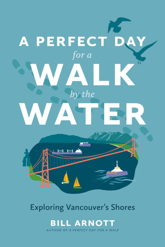
For as long as this part of the world has had people, it’s been a water-centric locale. Rivers and ocean for hunting and food harvest, transportation and trade. And I wanted to examine these places, to discover its beaches and inlets and bays. Which is what I’ve done in this new book, A Perfect Day for a Walk by the Water: Exploring Vancouver’s Shores. But in this series of excursions I go further, getting into, on top of, and under the water: swimming, paddling, sailing, snorkelling and diving, riding ferries, even joining the crew at the helm of a SeaBus, before viewing it all from above with flights via floatplane and a helijet.
So please join me for a small slice of the adventure with this excerpt from A Perfect Day for a Walk by the Water, published by Arsenal Pulp Press.
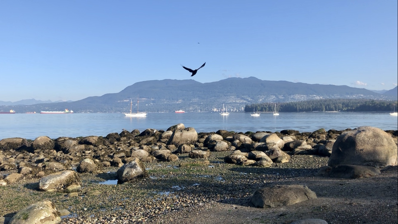
“At the edge of the shoreline, the beach, and the land, I wriggle my toes in the sea. Feel the tug of the tide, a siren song lure. A call, I suspect, to where we began: water, cool and embracing, a connection of saline, a dissolving of time. I think of what may be my favourite book, Land’s Edge, by Tim Winton. The title alone offers a leap into watery blue, a pursuit of horizons.
And yet where I am—a sand beach with pebbles and barnacled rock on the west side of Vancouver—is, in truth, no edge at all. This living shore, accumulating, eroding, is of course nothing more than a gradual descent in the land. One iteration of earth, angled acutely where it mingles with undulating saltwater. Today these two bands, water and earth, are diluted in apt tones, the beach a speckle of amber and grey with the bight of the bay in rough tourmaline lines. Beyond that, a deepening indigo.
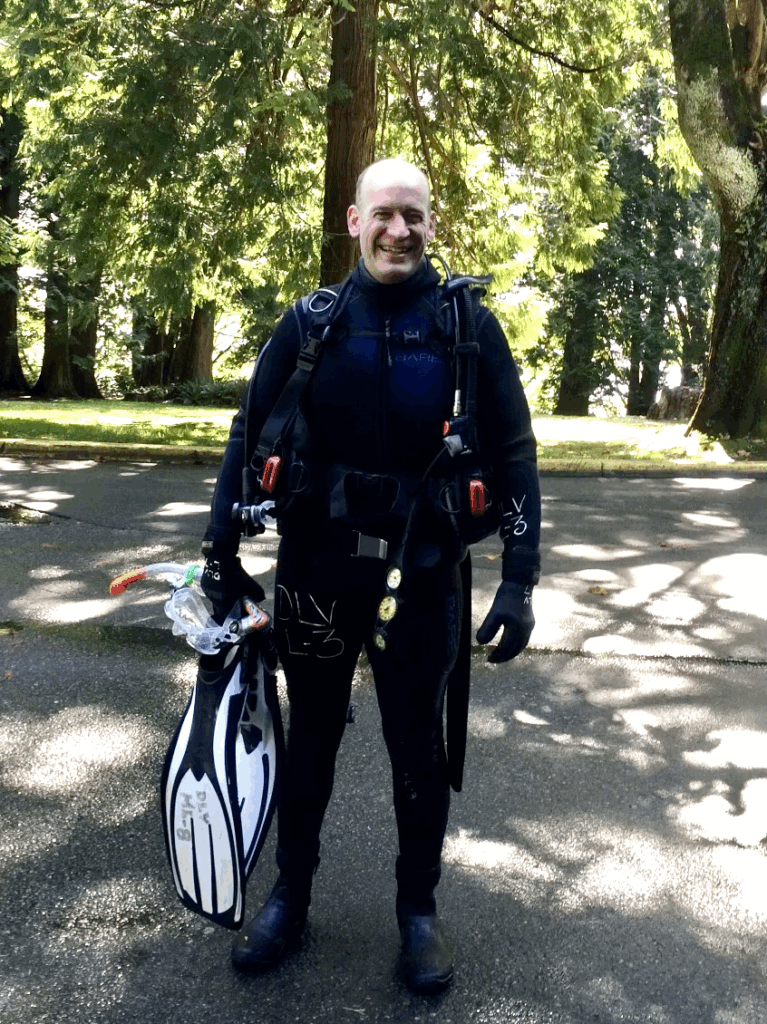
I consider the cycle. A drop of sea thrown in spindrift, caught on a breeze, joins a cumulous fluff in chill air before strafing to stratus. Moving in wind from the sea, blowing landward, it reaches the peaks of a long coastal range, becomes heavy, condenses, breaks free and scrims through the cold as it freezes, a snowflake unlike any other. It falls to a crusting of snow, the cusp of glaciation, where it sits for a very long time. Until things start to warm. The crystalline structure collapses, a trickle of fresh water, a gradual stream, now a creek that flows into a river. A sifting of silt melds the water with land on an oceanward trek, the salt pull of the moon, as the water returns in a muddle of algae and sea. That’s what I’m looking at now.
Where gulls tack a low sky, a heron high-steps the shallows, and kelp adds a tang to the air. Behind me, past the lip of the tide, a tousle of hemlocks are piercing the sky. It brings a smile as I recall a local business named for that pine, an operation that printed paper-based maps, some of which I helped to create. What fascinated me about that whole process, the artisanal science of map-making, was its illusory nature, a hint of clairvoyance turning notions, perceptions, into something concrete.
The dreaminess I associate with this facet of geography came to mind when I drew up some charts, rudimentary cartography, to accompany another book. I was fiddling with coastline and colour, something to share with designers, when I momentarily lost visual perspective. Looking at what I’d created, it was no longer obvious which side of the map-line was water or land. The addition of familiar tones, however—shades of blue for water, green and khaki for land—gave it commonly used points of reference. Ah, yes, that must be terra firma, while that’s a river, a lake, or the sea. I thought of this moment when I gazed at a map on a museum wall, a depiction of islands and ocean drawn by a seafaring people for whom water was the primary element, channels for exploration and trade. Land, on the other hand, was the extraneous part, where one might replenish or rebuild a vessel before returning to frequented waterways. By shifting not only colour but also perspective, an inversion occurred. What previously appeared as dry land became water, and vice versa. Perception determined reality, or in this case what was a landmass as home base and what was out there as the beyond of the sea.
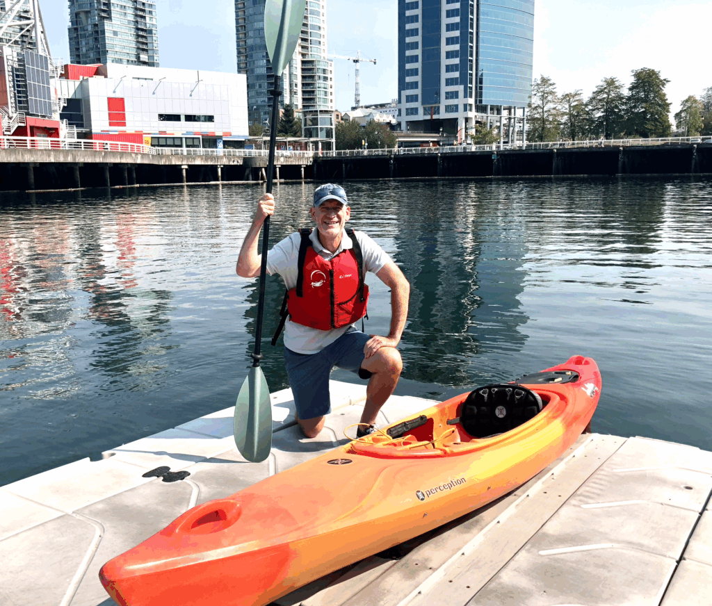
Which brings us to this latest excursion, experienced and gleaned by the water, exploring Vancouver once more, now from that inverse perspective. In A Perfect Day for a Walk, I explore the city on foot, walking its neighbourhoods; examining history and cultures, flora and fauna, street art, and nature in the heart of Vancouver while visiting with Indigenous locals, international settlers, and travellers. That experience—a half year of walking—revealed more than I’d imagined. The result: a renewed look at Vancouver for residents and visitors alike.
Now I’m tackling the city once more, a revamped point of view. In the same manner that map-making determines perspective, rather than looking out from within, a land-linked observance, this endeavour is more visually external, viewing Vancouver from its coastline and shores. As I’ve noted before, this is a place that I love, because and in spite of its makeup, beauty and grit, mountains and sea. The urban core and its suburbs now a pincushion of craning high-rises with a meander of saltwater shore grasping the sprawl like a kraken, possessive and proud, squeezing this bustling metropolis.
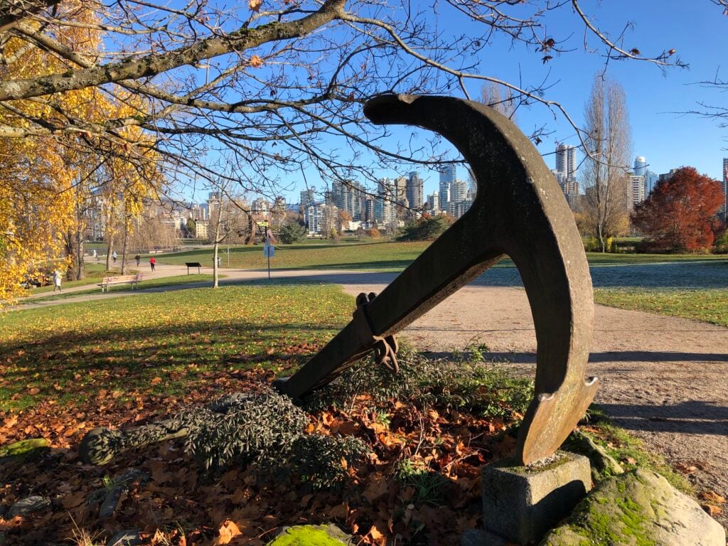
In that rambling traverse of Vancouver, what started those neighbourhood strolls was the city motto, “By sea land and air we prosper.” Again I consider that tagline. A previous generation trying to sum up a city, economically at least, in a handful of words. The fact that “By sea” starts it off says it all. This is a water-based centre. From a settler perspective, one founded on resource and trade, and that meant our waterways. Still does, to a large degree. From the ports of Burrard Inlet to the Fraser River’s splayed mouths, not to mention the roadways and rail line termini that feed these shipping lane hubs.
Much like the motto implies, this is a prosperous centre, a conglomerate of abundance, yet replete with lack too. Like so many cities, thriving, striving, surviving, a mosaic of culture and hope. To reintroduce this locale, Vancouver is one of the country’s most diverse cities, with English not being the first language of half the population. Most residents are what the Government of Canada labels “visible minorities.” At first I found this notion ludicrous, the majority deemed a minority. Then I rethought it. Maybe it simply conveys that no one cultural group is in a majority—a fact that I like, knowing the city is truly varied, what I’d call proper community. Meanwhile, this sprawl of humanity continues to rank as one of the world’s most livable cities, as well as one of the most expensive.
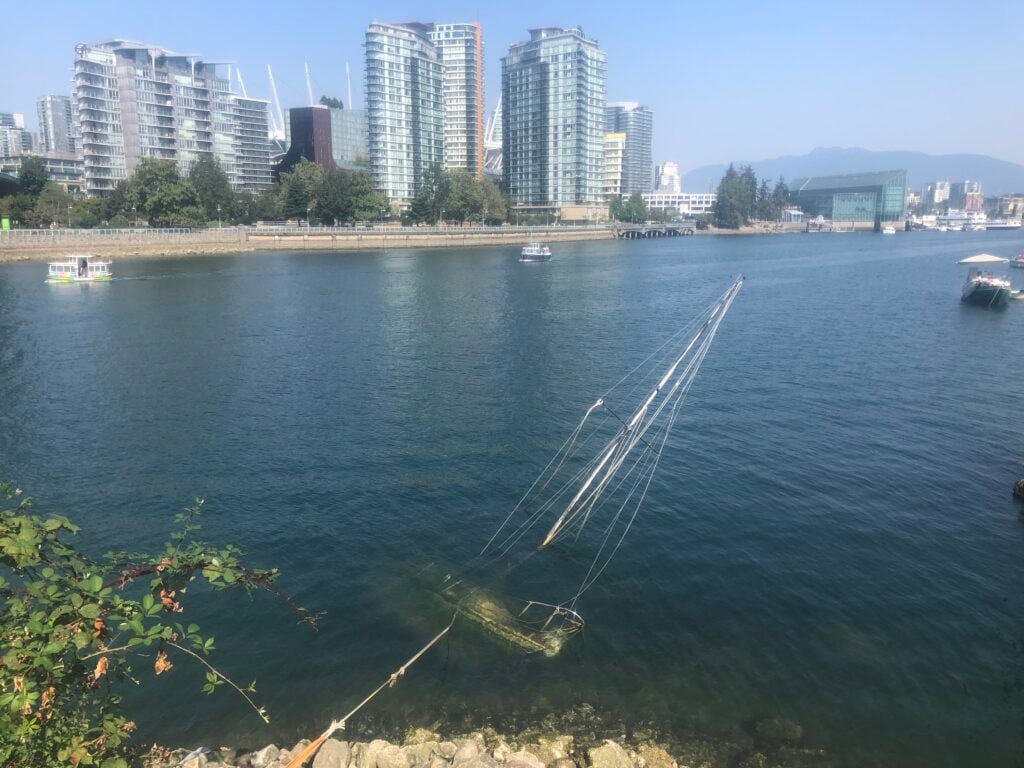
When you research the city, plumbing archives or asking around, what you find tends to loop. Descriptors emphasize scenic views, mild climate, unparalleled beauty, with beaches and mountains and living outdoors. An online thread poses the question “Is Vancouver a good or bad city?” One reply states, “Yes it is.” Which may be a perfect summation. The next contribution, however, says more: “It’s a lovely city, one of the world’s most beautiful, provided you can afford to enjoy it.” Which I see as the crux of the matter in myriad puzzles and queries concerning Vancouver.
I’ve lived in this city for four decades. It’s my home, here on Musqueam, Squamish, and Tsleil-Waututh land. And while I’ve resided in a dozen different Vancouver neighbourhoods, I find the city forever feels new. Beyond fresh construction, there remains a perpetual renewal, a reinvention, creating a sense of discovery every time I step out the front door, making me a tourist, an explorer where I live and work. Exploration, however, unveils further questions: What am I seeing? Why is it this way? And what will it be like tomorrow? Things that drive me to further examine this city, wanting to better comprehend its “sea land and air,” its water-fringed landscape, its beauty and challenges. And while I did have queries answered as I walked through the city, observing, researching, and meeting with experts, I uncovered a great many more. Questions that touch on the water, these shifting and nebulous boundaries of sandy beach, shoreline rock, industrial sites, parkland, and fenced private property lines. So I’m doing it again, examining our city with that map-based inversion, turning it all inside out. Or, depending on which map we use, outside in.
(Photos featured here are the originals, in colour, while shots that appear in the book, along with original graphics and maps, are printed in black and white).
People & Culture
Bestselling author Bill Arnott discusses his work as a writer tracing the voyages of Vikings around the world

Places
Bestselling author Bill Arnott takes readers for an exploratory stroll along Vancouver’s beloved beachside of Kitsilano as part of his new book, A Perfect Day for a Walk
Travel
The new movement building flourishing tourism hubs across Canada – one sustainable example at a time
Wildlife
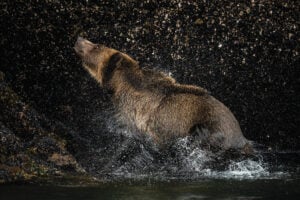
Salmon runs are failing and grizzlies seem to be on the move in the islands between mainland B.C. and northern Vancouver Island. What’s going on in the Broughton Archipelago?