
People & Culture
Life in the high Arctic: James Raffan
James Raffan finds beauty in a place where one in 10 children will not graduate high school
- 1374 words
- 6 minutes
People & Culture
A conversation about Craig Macdonald’s decades in Temagami, the Indigenous knowledge documented in his map and Raffan’s latest work in the North
“To be in a relationship with a place is a very complex and beautiful dynamic.”
Bestselling author, explorer and master storyteller James Raffan returns to Explore to discuss his new book, Echo Maker: Craig Macdonald and the Lives That Produced One of Canada’s Most Significant Historical Maps.
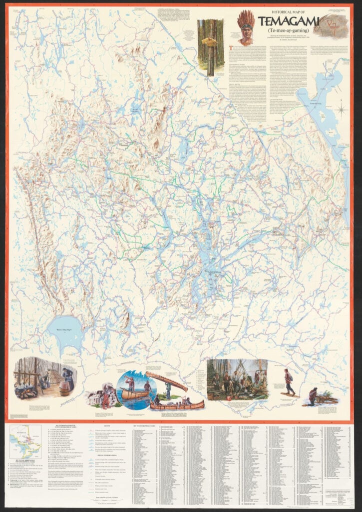
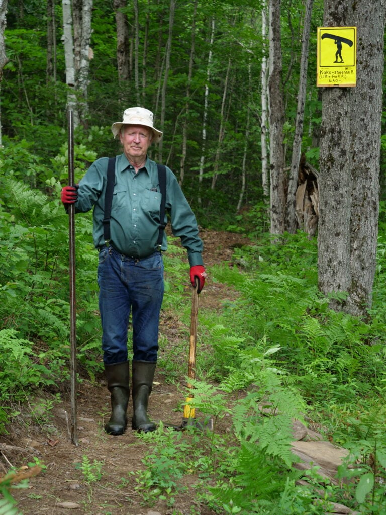
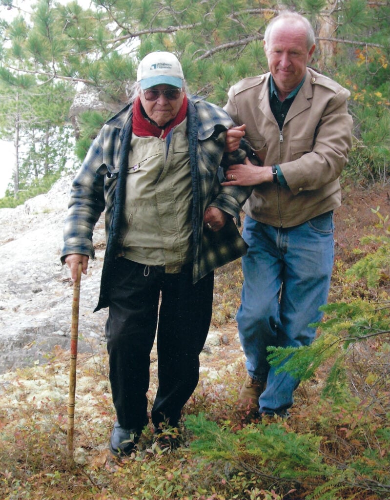
The book tells the remarkable story of Craig Macdonald, a quiet and determined ethno-geographer who spent decades travelling through the Temagami region of northern Ontario and learning from Teme-Augama Anishnabai elders. Through hundreds of conversations and journeys by canoe, snowshoe and dogsled, Macdonald documented traditional place names, portages, winter trails and patterns of land use that had never appeared on conventional maps.
The result was the historical Map of Temagami, which showcases the traditional travel routes, campsites, and geographical names of the Indigenous Anishinaabeg before 1900.
An extraordinary record of Indigenous knowledge, the map has helped preserve language and culture, strengthen connections between generations and support an ongoing land claim.
Raffan and Explore host David McGuffin discuss what drew Macdonald to this work, why he learned the language of Anishinaabemowin, and how a landscape often described as “wilderness” was revealed to be a deeply known and inhabited cultural landscape.
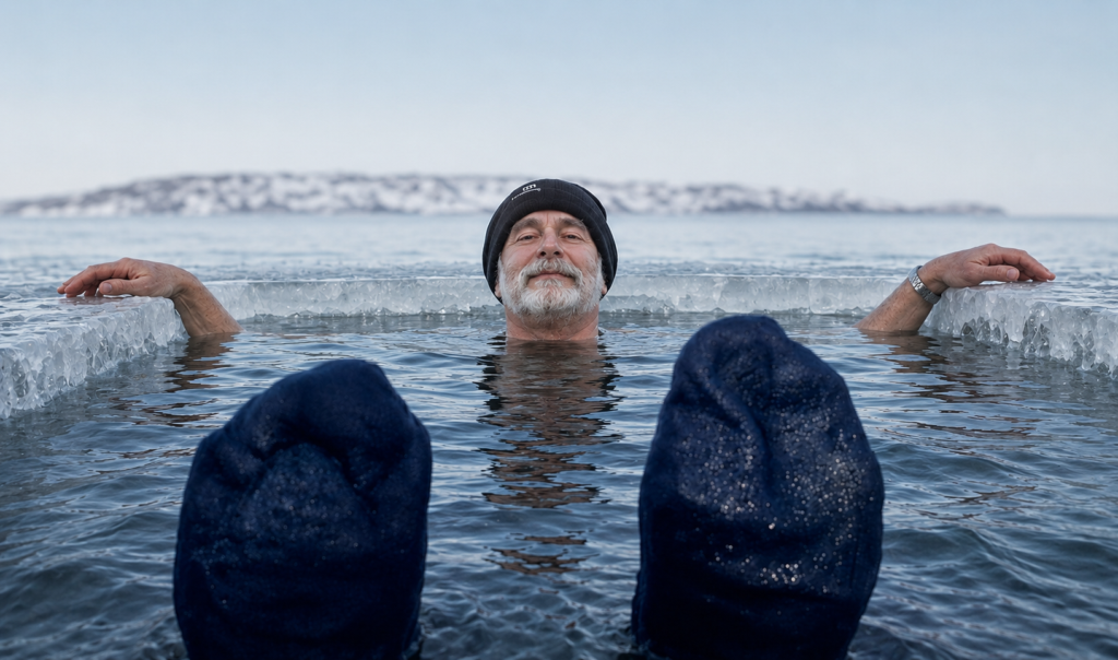
They also discuss James’s new documentary, Signs of Life, about a music-and-storytelling project with Inuit youth in Kugluktuk, Nunavut, and reminisce about an unforgettable #CanGeoPolarPlunge through Arctic sea ice at −38 C.
James Raffan is a cultural geographer, bestselling author and Fellow of the Royal Canadian Geographical Society. He has spent more than 50 years travelling, researching and telling stories across Canada and the circumpolar North.
People & Culture
James Raffan finds beauty in a place where one in 10 children will not graduate high school

Exploration
Explorer and “canoe evangelist” James Raffan reflects on the symbolic importance of the canoe to Canada and his most recent expedition in the Marshall Islands

People & Culture
The plan was to walk as much of the Arctic Circle as possible from Norway through to Sweden. Turns out, although there are tons of inviting trails, that is much easier to do in…
People & Culture
Cayuga Elder Norma Jacobs follows the historic path of the Messenger of Peace — an exploration and discovery of the traditional territories, her culture and herself