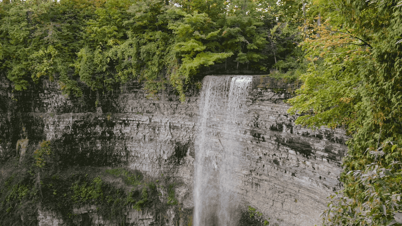
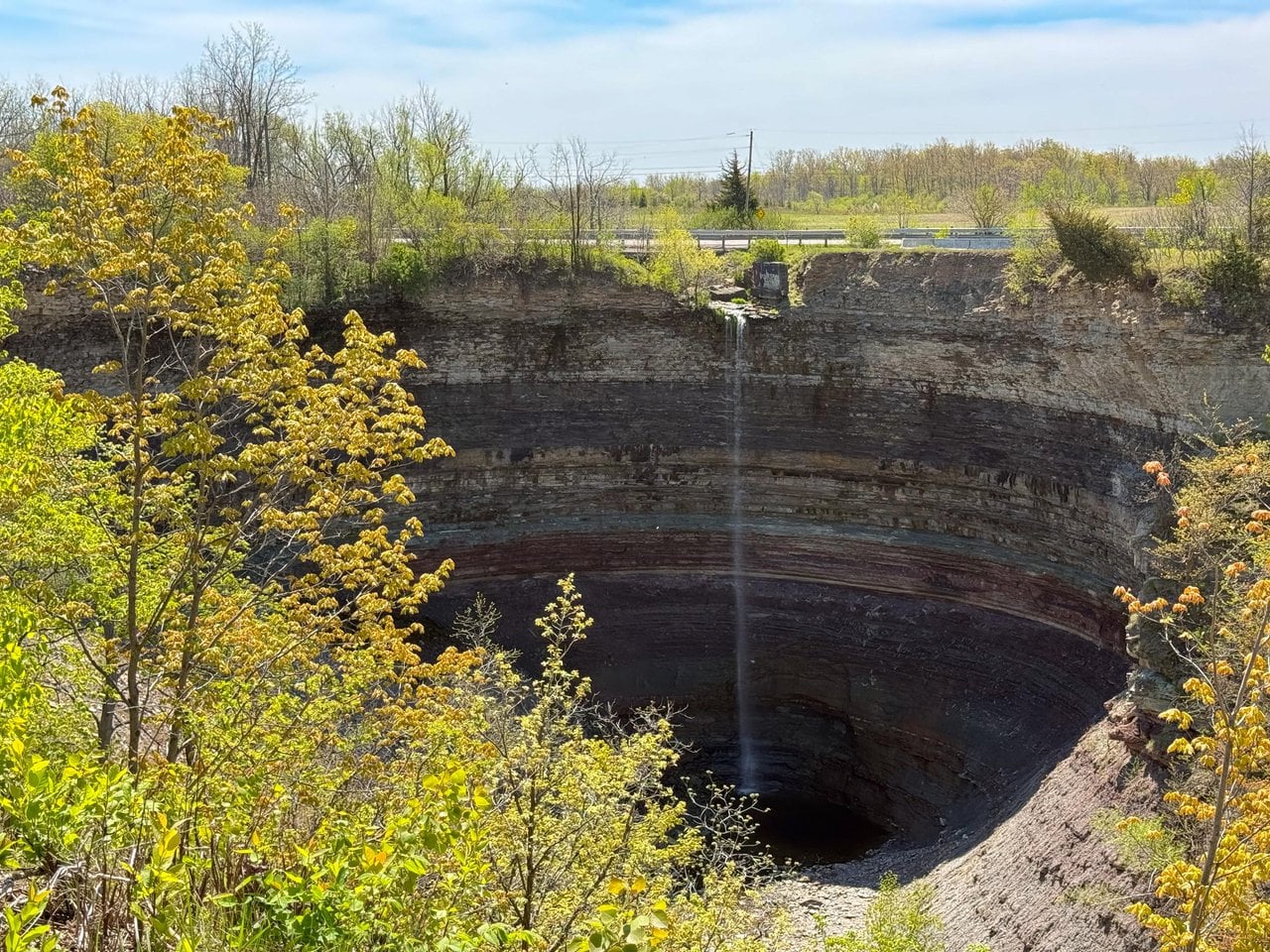
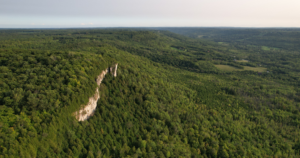
Hamilton’s waterfalls flow over the rocky ridge of the Niagara Escarpment, a UNESCO Biosphere Reserve and the largest continuous forested area in south-central Ontario. Hamilton’s section of the escarpment extends about 65 kilometres, while the total portion within Ontario stretches 725 kilometres from near Niagara Falls to the limestone cliffs of the Bruce Peninsula in Tobermory.
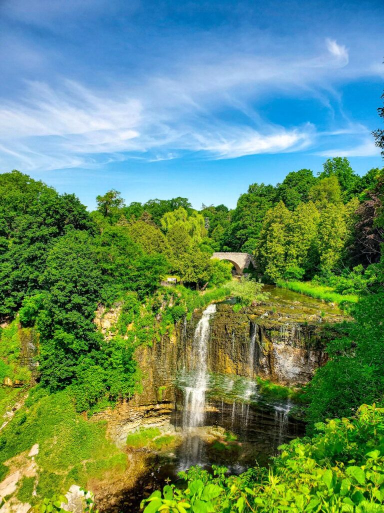
Many of the city’s waterfalls are linked to the Bruce Trail, Canada’s longest and oldest marked footpath. The trail is one of the country’s early major conservation successes, initially proposed in 1962 by Raymond Lowes — the ‘Father of the Bruce’ — to help preserve the escarpment. For that reason, the Bruce Trail Conservancy is one of several partners the city engaged to develop the Waterfall Destination Master Plan.
“We want to encourage people not just to come to the waterfalls, but also get on the trail and learn why this is such a special place — walking away with more respect, and with more of an eagerness to explore nature in your own backyard,” says Snelgrove.
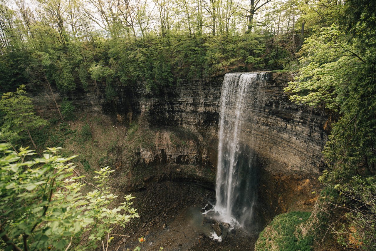
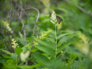
The plan emphasizes the importance of conserving the special ecosystems that surround the waterfalls, namely, the Carolinian forest. Hamilton’s waterfalls can be found nestled in the northern boundary of the Carolinian, a rare forest type making up just one per cent of Canada’s forested area but hosting the largest diversity of plant species in the country.
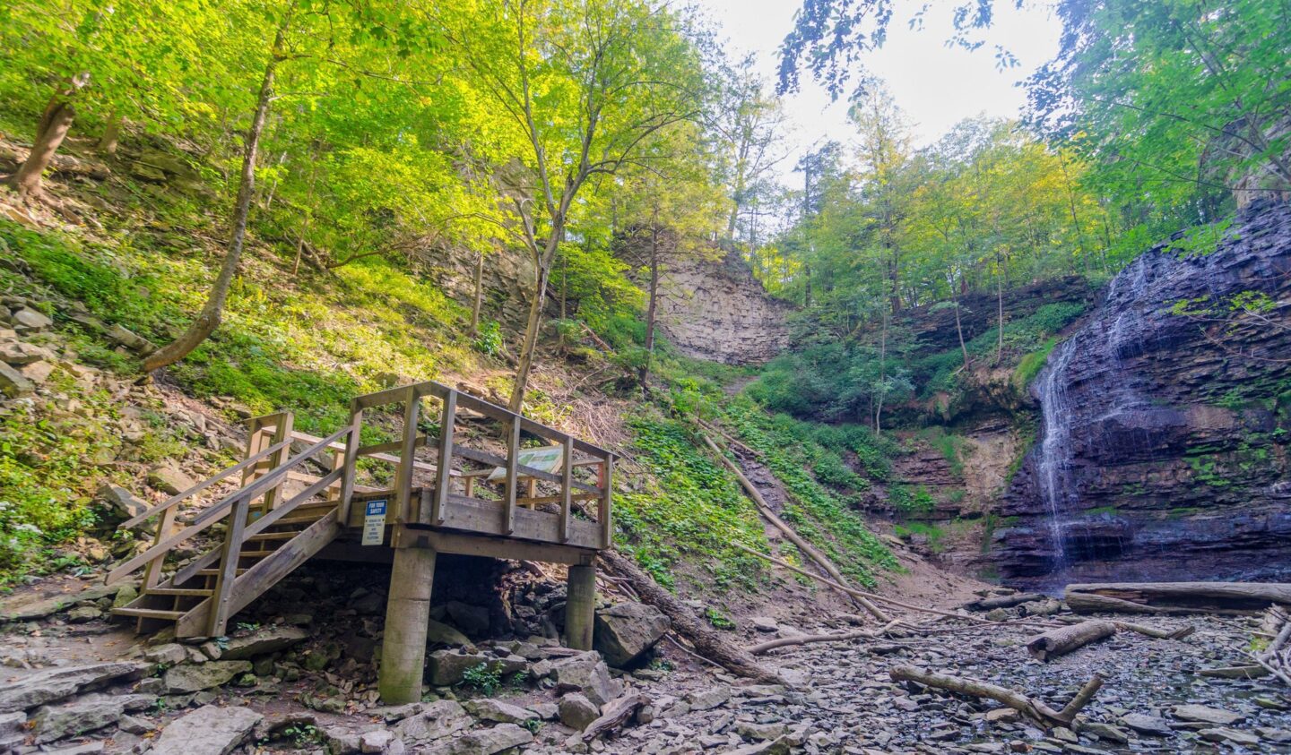
As rules and etiquette vary across different sites in the waterfall network, a major goal of the project is to change the way the city and its conservation partners communicate with visitors. “The idea is not to put signs all over because people come out into nature to experience it, to be in it,” says McCarthy.
The city plans to introduce a new central online platform that will include updated and clear mapping of the region’s waterfalls, as well as safety education regarding the falls’ access points, ecological sensitivities, and the location of nearby trailheads and viewing platforms.
The new strategy shifts the perspective from seeing waterfalls as isolated attractions to recognizing them as living systems with cultural, spiritual and ecological importance, highlighting Indigenous leadership and storytelling. Snelgrove says at some sites, a regenerative approach to managing visitor activity might look like reintroducing native plant species to act as natural barriers. “People don’t mind climbing over a fence, but nobody likes to climb over a prickly mulberry bush,” she says.
Education about the city’s watersheds is another major element of the master plan. Although only about one per cent of Hamilton’s drinking water comes from the escarpment’s headwaters, the bluff comprises over 60 per cent of the city’s drainage. The master plan aims to safeguard these streams by teaching people how and where the city’s water flows and emphasizing that waterway protection isn’t only necessary for large wetlands or the Great Lakes, but for all basins integral to the city.
As a borough within a biosphere, the city says its approach has been to address the environment first: “Ask the waterfalls,” as McCarthy puts it, quoting an Indigenous community member who consulted on the master plan. “When we look at the capacity of any site, we’re not talking about increasing those parking lots unless the site can actually handle more visitation,” she explains.
The first phase of the plan will focus on 40 waterfalls deemed as ‘priority sites’ and address their capacity issues. The plan upholds the city’s desire to invite people out into nature, while recognizing that these waterfalls have never truly belonged to the city and rather only ever to the land itself. “It is our job to help people explore in a sustainable and responsible way,” says Snelgrove.
The plan is still in draft form but will be submitted to council for final review and approval next month.