
People & Culture
Carrying our culture: New CBC series examines what it means to be Asian Canadian
In honour of Asian Heritage Month, CBC Quebec journalists asked Asian Canadians how they carry their culture
- 969 words
- 4 minutes
This article is over 5 years old and may contain outdated information.
This article is over 5 years old and may contain outdated information.
People & Culture
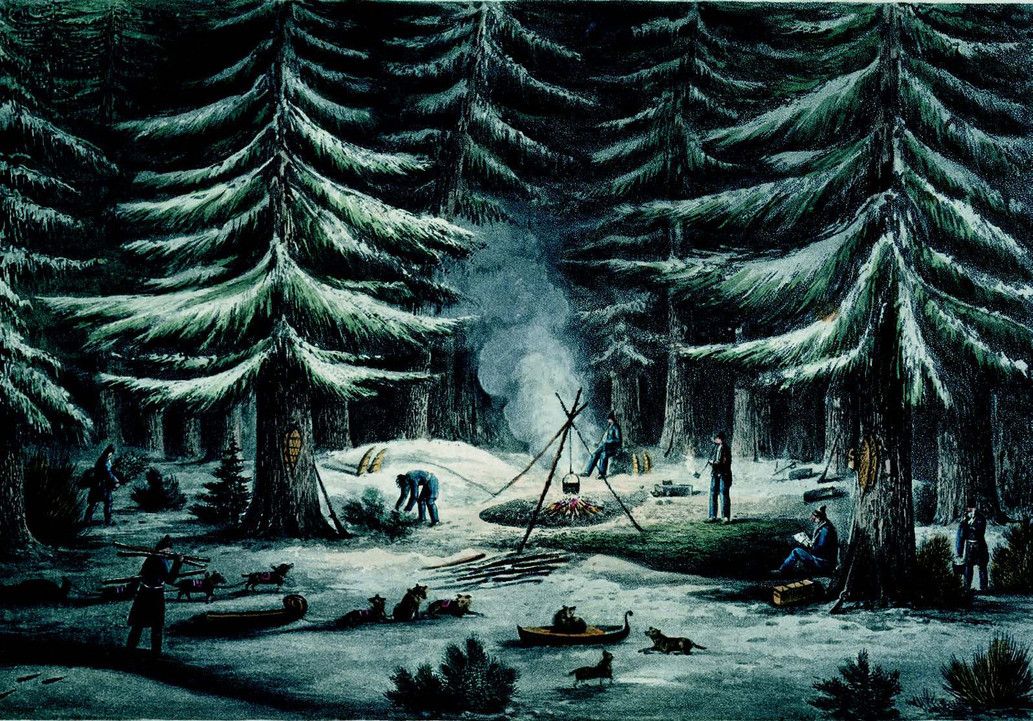
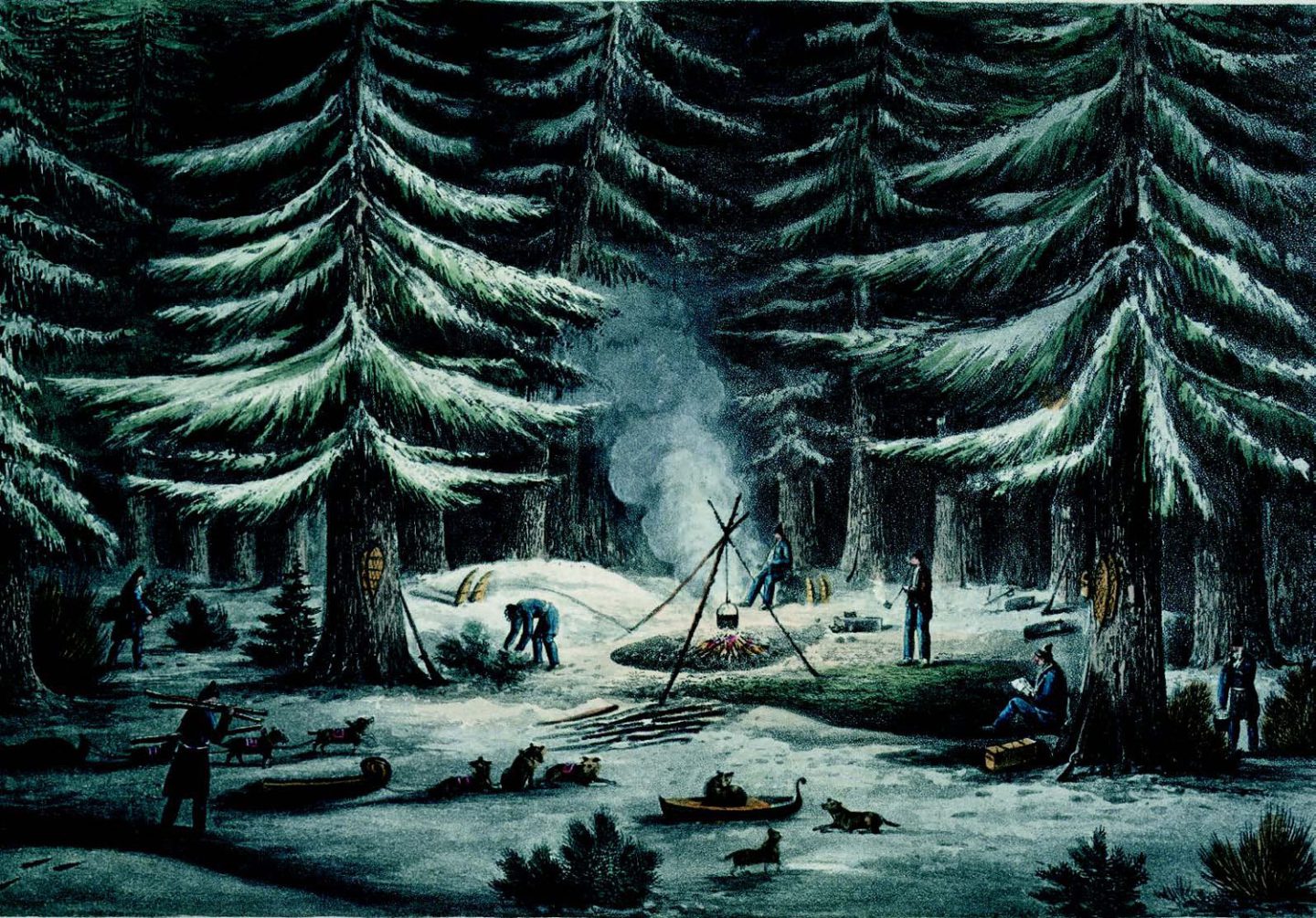
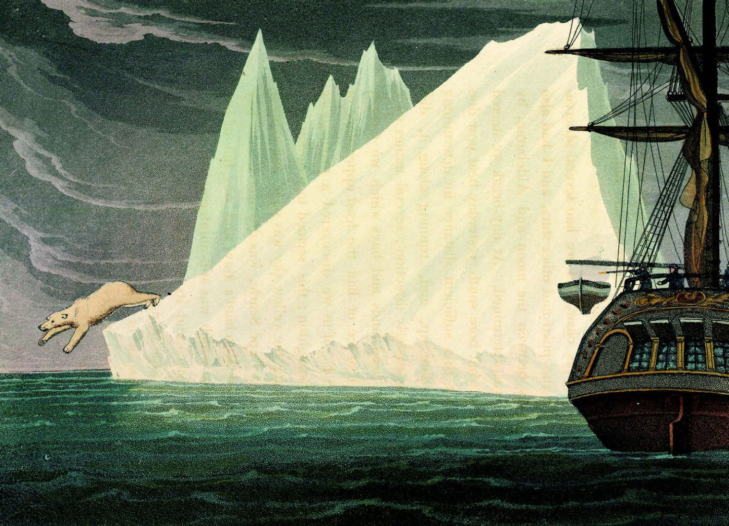
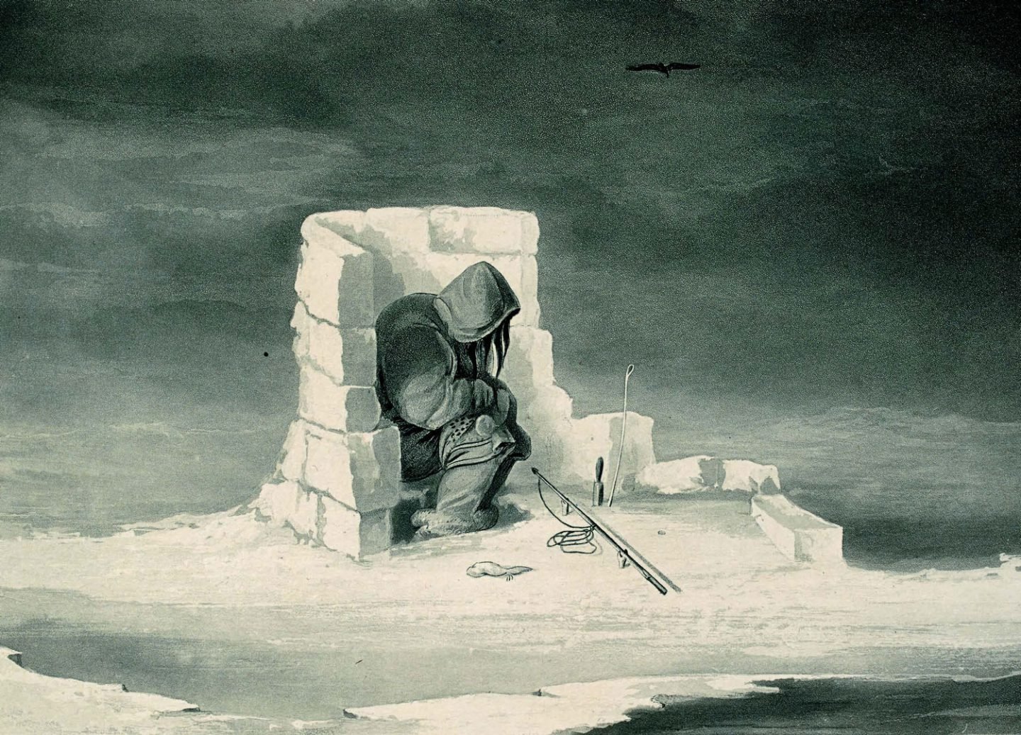
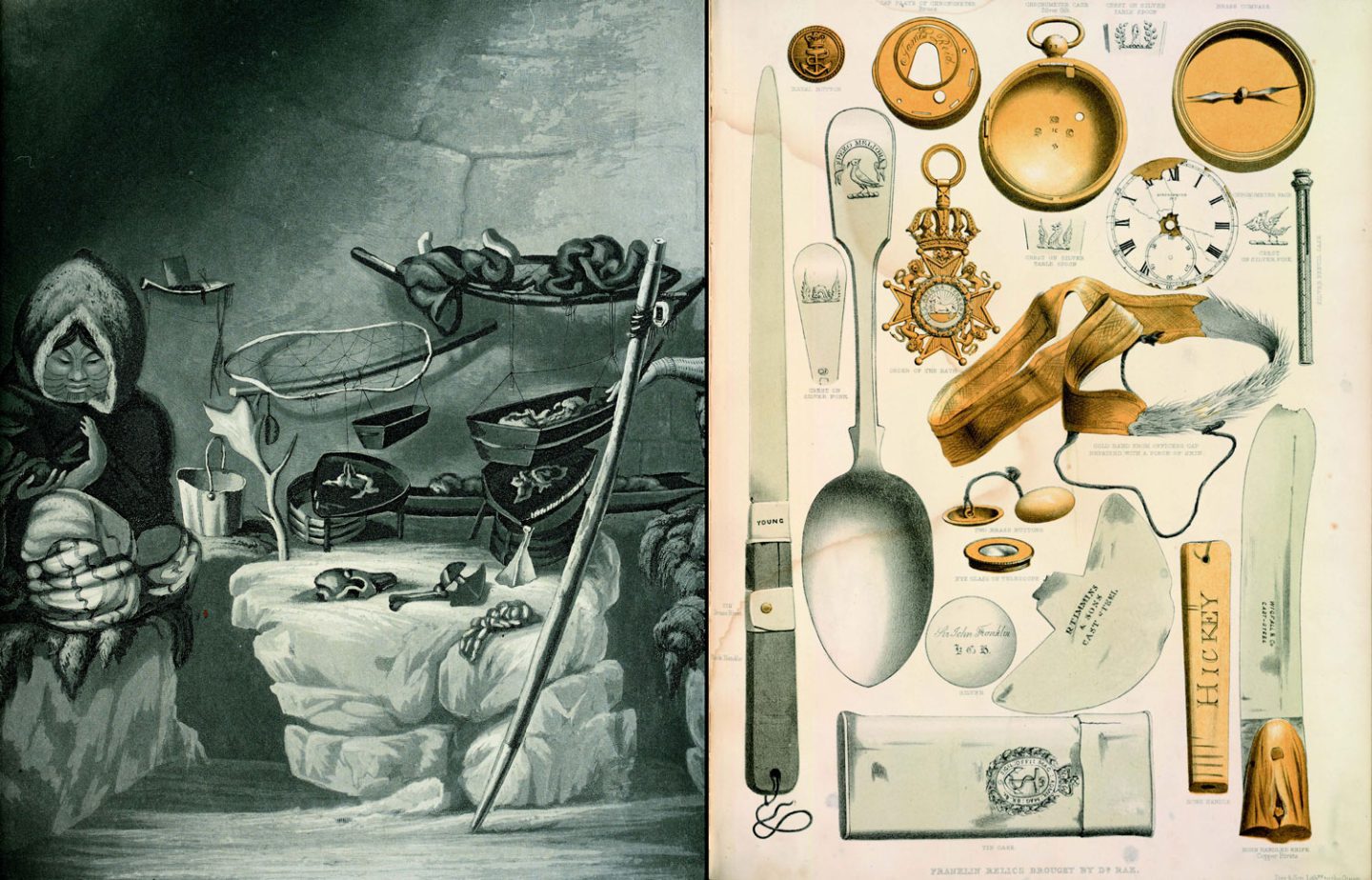
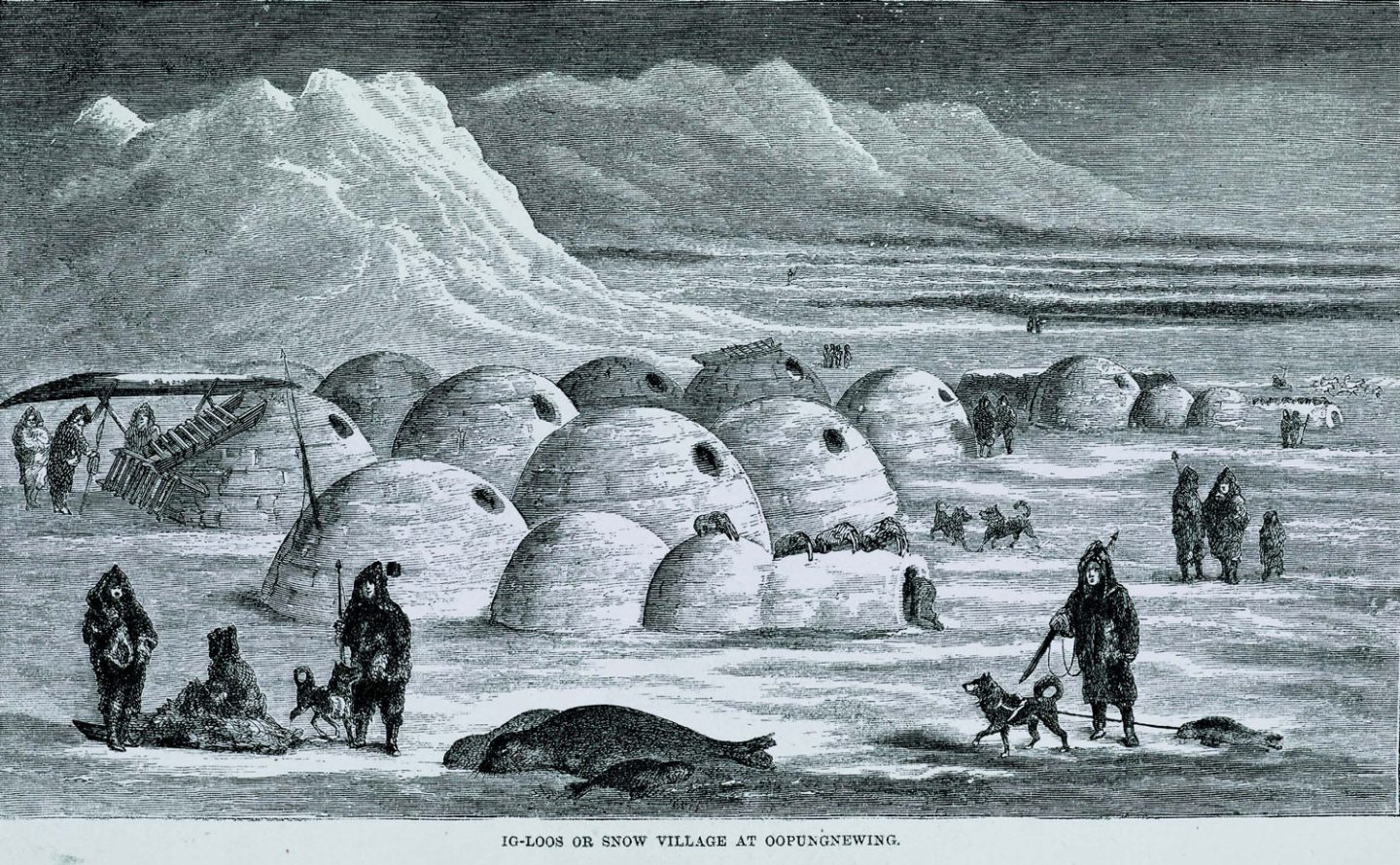
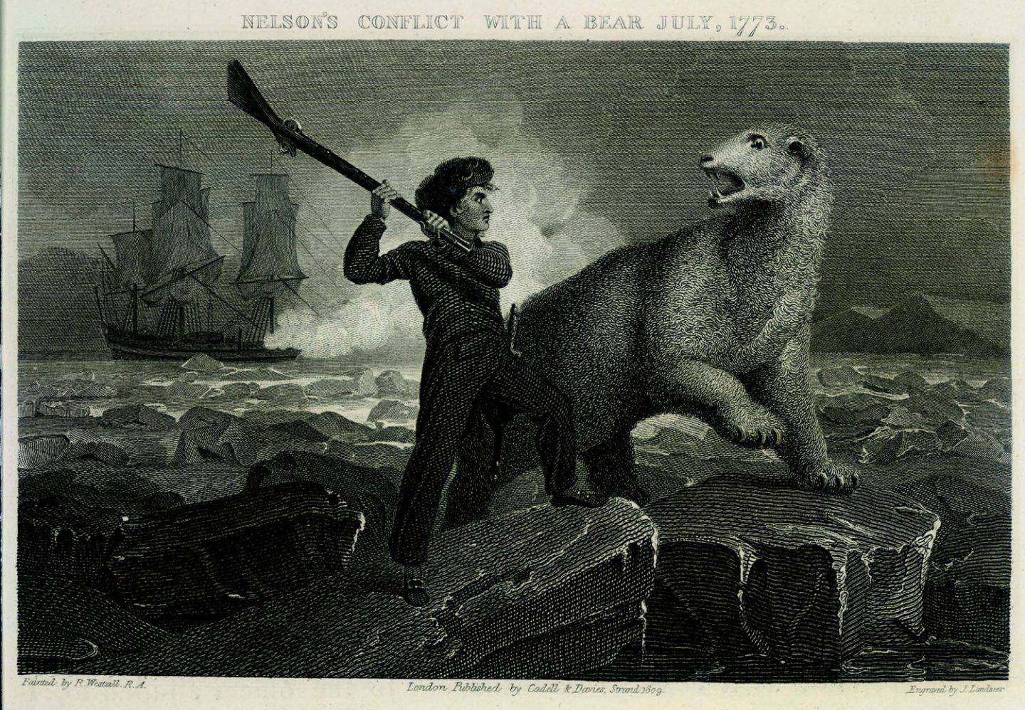
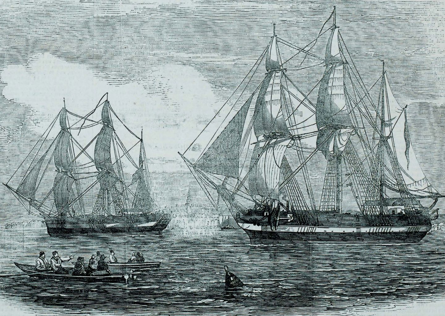
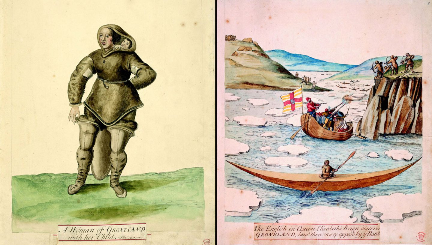
In his sumptuously illustrated Lines in the Ice: Exploring the Roof of the World, Philip J. Hatfield assesses the impact of polar exploration on a region that continues to fascinate


People & Culture
In honour of Asian Heritage Month, CBC Quebec journalists asked Asian Canadians how they carry their culture

People & Culture
Transportation has a huge impact on daily life, and yet most people overlook its influence. This photo exhibit examines that relationship.

People & Culture
As the climate heats up, so do talks over land ownership in the Arctic. What does Canadian Arctic Sovereignty look like as the ice melts?
Environment
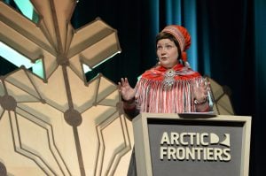
The uncertainty and change that's currently disrupting the region dominated the annual meeting's agenda