People & Culture
Kahkiihtwaam ee-pee-kiiweehtataahk: Bringing it back home again
The story of how a critically endangered Indigenous language can be saved
- 6310 words
- 26 minutes
This article is over 5 years old and may contain outdated information.
People & Culture

Ghana’s Volta River delta is an area vulnerable to climate change, with rising seas and increasingly powerful storms driving flooding and erosion, leaving authorities there questioning whether the best response involves solutions such as sea walls or migration. A group of researchers is using drones to help provide answers. Part of an ongoing series of stories about innovative projects in the developing world, a partnership between the International Development Research Centre and Canadian Geographic.
Visit the Charting Change website to read Drones on the delta.
Are you passionate about Canadian geography?
You can support Canadian Geographic in 3 ways:

People & Culture
The story of how a critically endangered Indigenous language can be saved

People & Culture
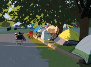
For unhoused residents and those who help them, the pandemic was another wave in a rising tide of challenges

Wildlife
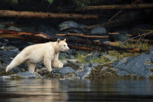
How ‘maas ol, the spirit bear, connects us to the last glacial maximum of the Pacific Northwest

Places
In Banff National Park, Alberta, as in protected areas across the country, managers find it difficult to balance the desire of people to experience wilderness with an imperative to conserve it