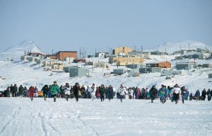
This article is over 5 years old and may contain outdated information.
Places
Video: Exploring Baffin Island's Itijjagiaq Trail
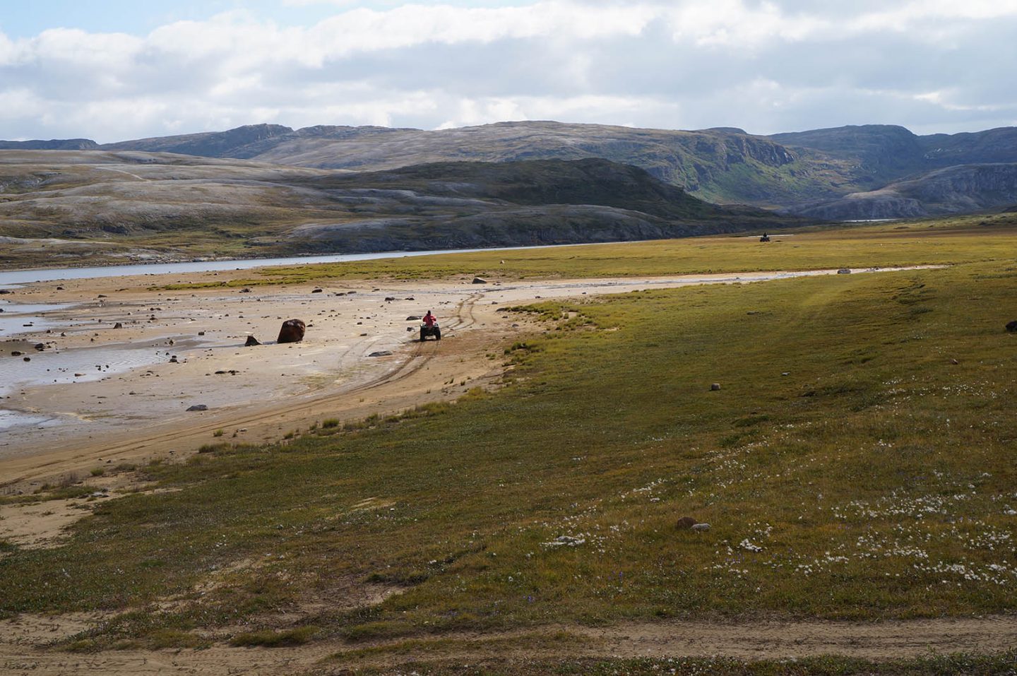
360-degree views of the Itijjagiaq Trail, a traditional route across southern Baffin Island that is now part of The Great Trail's national trail network
“The Itijjagiaq Trail is more of an expanse than a trail.”
So writes Ossie Michelin in his feature story about the trail in the January/February 2018 issue of Canadian Geographic, and for good reason: the Itijjagiaq (Inuktitut for “over the land”) has no trail markers or infrastructure save nine warming huts spaced out along its 120-kilometre length. And although part of the trail follows the meandering Soper River through Katannilik Territorial Park into the heart of Baffin Island's Meta Incognita Peninsula, users choose their own path over its rocky outcrops and frigid Arctic streams.
Listen and use your cursor or finger to look around as Katannilik Territorial Park ranger Andrew Boyd explains some of the features — and hazards — of the trail:
Before it became part of The Great Trail's coast-to-coast-to-coast network — the only section of trail found in Nunavut — few southerners knew anything about the route, but it has a long history among the Inuit of southern Baffin Island. The trail is the quickest overland route between Iqaluit and Kimmirut, particularly in the winter, when it's possible to make the journey by snowmobile in less than a day. In the summer, the river valley teems with life and locals hunt geese and caribou, fish for char and pick luscious berries by the thousands.
Listen and use your cursor or finger to look around as conservation officer Sean Noble discusses how the locals use the Itijjagiaq:
Due to its remoteness, the Itijjagiaq Trail is recommended for experienced backcountry hikers and paddlers only. Visitors are required to register with the Katannilik park rangers and carry GPS and communications equipment for safety. But those willing and able to make the journey are amply rewarded with the opportunity to spot iconic Arctic wildlife, scramble over billion-year-old rocks, and visit the isolated but friendly community of Kimmirut, Baffin's southernmost settlement.
Use your cursor or finger to look around at the scenery on the trail and the Kimmirut harbour:
On April 1, 1999, Canada’s youngest population took control of its largest territory. Here’s how Canadian Geographic covered the story.
2880 words
12 minutes
Travel
Trans Canada Trail celebrates 30 years of connecting Canadians
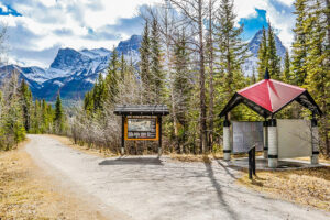
The trail started with a vision to link Canada coast to coast to coast. Now fully connected, it’s charting an ambitious course for the future.
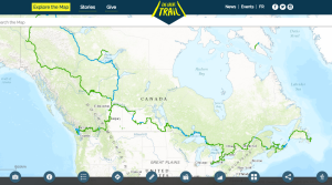
1730 words
7 minutes
Mapping
How the Great Trail interactive map is linking communities and changing exploration
As Canada's most famous trail celebrates its near completion, Esri Canada president Alex Miller discusses the ambitious trail map that is helping Canadians get outdoors
1298 words
6 minutes
People & Culture
On thin ice: Who “owns” the Arctic?
As the climate heats up, so do talks over land ownership in the Arctic. What does Canadian Arctic Sovereignty look like as the ice melts?
4353 words
18 minutes
Advertisement
Advertisement
You are using an outdated browser. For the best experience, we recommend that you update your browser before using the website.