Science & Tech
20 Canadian innovations you should know about
Celebrating Canadian Innovation Week 2023 by spotlighting the people and organizations designing a better future
- 3327 words
- 14 minutes
This article is over 5 years old and may contain outdated information.
Mapping

Life is complicated. Cities are too.
In an effort to take a simplified look at Canadian cities, Canadian Geographic has embarked on a multi-part mapping series. The aim is to use the simplicity of consistently scaled maps to tell stories about our nation’s major urban areas, focusing first on the downtown cores.
Here, cartographer Chris Brackley has mapped the downtowns of six Canadian cities. Of course, one challenge he encountered was defining each city’s downtown. Although typically “downtown” means the central business area, there is no official definition — though most cities have business improvement associations or municipal bodies that establish the boundaries of the core. Brackley used those as a guide, but the maps here represent Canadian Geographic‘s own interpretation of the downtown area of each city, based on where it appears neighbourhoods become primarily residential.
The financial and entertainment districts, major streets, significant transportation infrastructure, key buildings and other important landmarks have been labelled on each map. Individually, each map tells a unique story about how the city functions. Combined, they give an indication of how cities in different parts of Canada are shaped by their geography. Dig in and let us know what you discover!


Are you passionate about Canadian geography?
You can support Canadian Geographic in 3 ways:

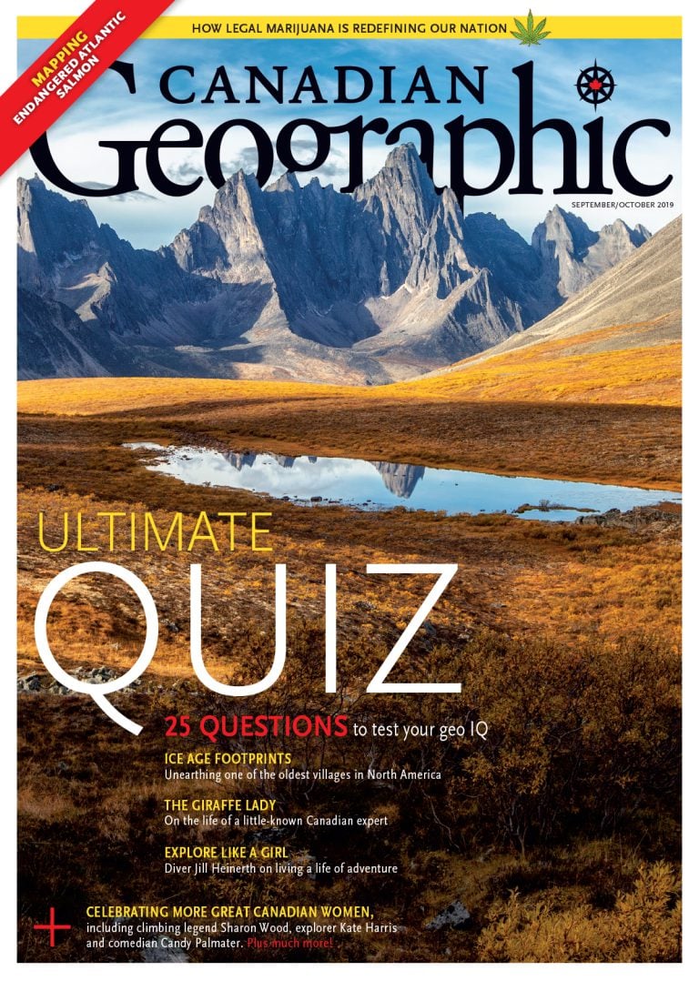
This story is from the September/October 2019 Issue

Science & Tech
Celebrating Canadian Innovation Week 2023 by spotlighting the people and organizations designing a better future

Travel
The trail started with a vision to link Canada coast to coast to coast. Now fully connected, it’s charting an ambitious course for the future.

Wildlife
Canada jays thrive in the cold. The life’s work of one biologist gives us clues as to how they’ll fare in a hotter world.

People & Culture
What does it mean for Canada if we continue to pull up train tracks?