History
Frozen in time: The remarkable legacy of Mary Vaux, amateur glaciologist
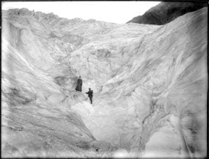
Mary Vaux’s groundbreaking 19th-century study of B.C.’s Illecillewaet Glacier created an invaluable record of the glacier’s recession
- 4293 words
- 18 minutes
This article is over 5 years old and may contain outdated information.
Science & Tech

Ever wonder how sea rise projections are made? Part of the equation comes down to glaciers – their size, quantity, and melt speed.
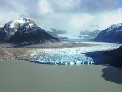
The projected effects of climate change are going to get a little more precise, thanks to the work of an international team of scientists led by Trent University Professor Graham Cogley. They’ve published the first map of almost all of the world’s glaciers – 198,000 of them to be exact.
Using satellite images and a digital elevation model, they collected a massive wealth of data on Earth’s iciest swaths. It all goes back to one massive data repository: the Randolph Glacier Inventory, or RGI.
The RGI gives each glacier it’s own digital body-double, making glacier-climate forecasts more precise.
“This means that people can now do research that they simply could not do before,” said Cogley, “It’s now possible to conduct much more robust modeling for what might happen to these glaciers in the future.”
The team’s global map of glaciers means that the total extent within the RGI is somewhere in the vicinity of 727,000 square kilometers – an area about the size of Germany, Denmark and Poland combined.
According to co-lead author Tad Pfeffer, it is the smaller glaciers we should be worrying about, both now and over the next century. Pfeffer teaches at the University of Colorado-Boulder, where he’s also a fellow at the Institute of Arctic and Alpine Research.
The team included 74 scientists from 18 countries, most working on an unpaid, volunteer basis. The paper appeared in the Journal of Glaciology.
Are you passionate about Canadian geography?
You can support Canadian Geographic in 3 ways:

History
Mary Vaux’s groundbreaking 19th-century study of B.C.’s Illecillewaet Glacier created an invaluable record of the glacier’s recession

History
Sites across Canada honouring the war

Mapping
Maps have long played a critical role in video games, whether as the main user interface, a reference guide, or both. As games become more sophisticated, so too does the cartography that underpins them.

Science & Tech
As geotracking technology on our smartphones becomes ever more sophisticated, we’re just beginning to grasps its capabilities (and possible pitfalls)