
History
Picturing the mountains
A French-born Canadian changed the world of mapping by photographing the Rockies
- 354 words
- 2 minutes
This article is over 5 years old and may contain outdated information.
Mapping


Photogrammetry
f?-t?-?gra-m?-tr?
Definition:
Photogrammetry is the science of obtaining reliable information and measurements about the properties of surfaces and objects without physical contact with the objects through photographs, for mapping and surveying.
Origin:
The German geographer Otto Kersten first introduced the term in 1867 in the title of an article that was published in the Architectural Society Weekly Journal. The word “photogrammetry” is derived from the three Greek words phos or phot, meaning light; gramma, which means letter or something drawn, and metrein, the noun of measure.
Example:
Photogrammetry is commonly used in mapping, architecture, geology and engineering. Meteorologists can also use it as a way to determine the actual wind speed of a tornado.
History
A French-born Canadian changed the world of mapping by photographing the Rockies
Mapping
‘Maps aren't magic,’ says University of British Columbia prof — but during disease outbreaks, they can help us sort good information from bad
People & Culture
For an educator who has gone above and beyond their job description to further geographic literacy

Mapping
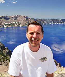
When Mike Farley was a young boy, he used Canadian Geographic magazine as a window to another world, far from his home in Toronto's suburbs. Fifteen years ago, Farley started…