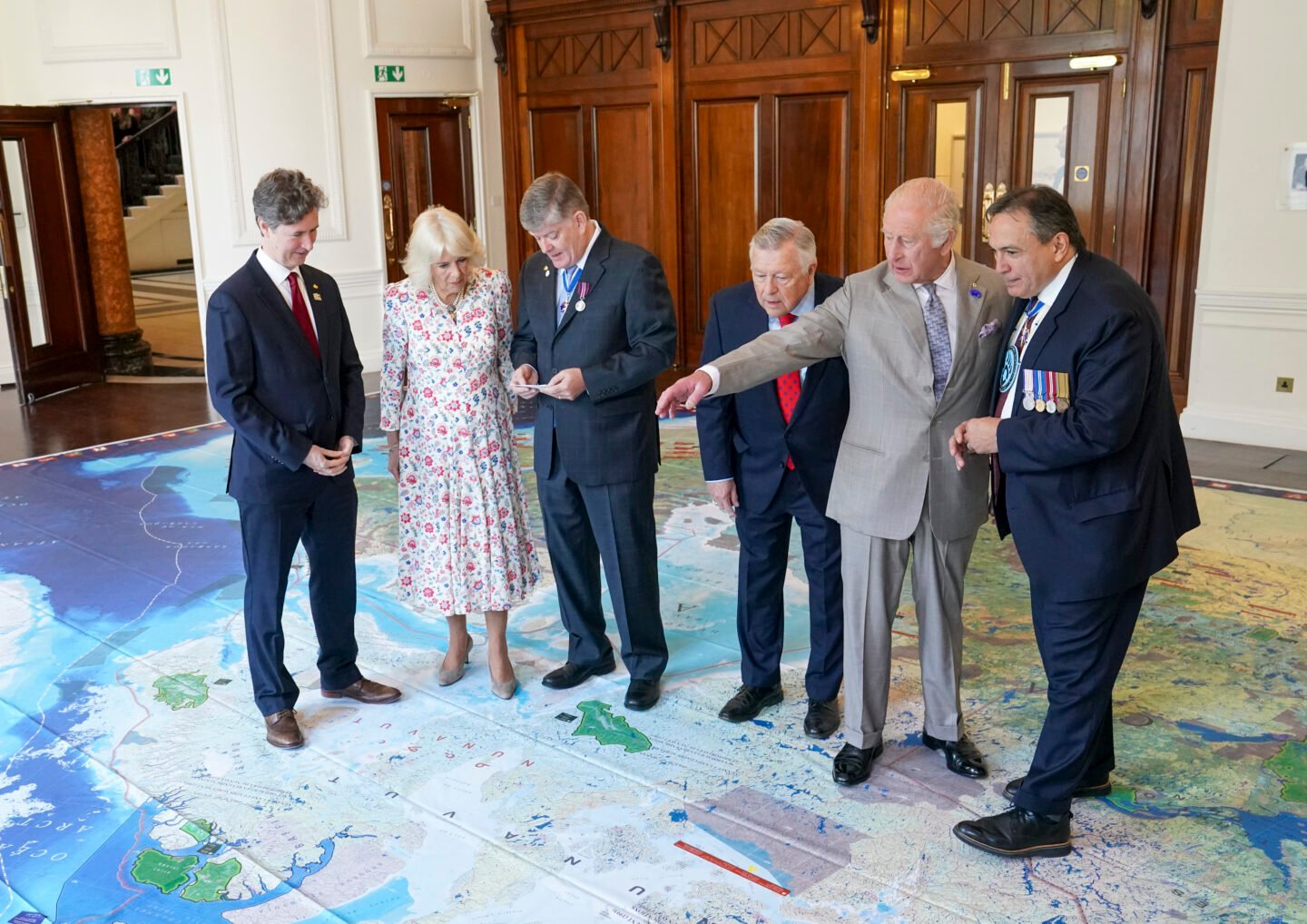
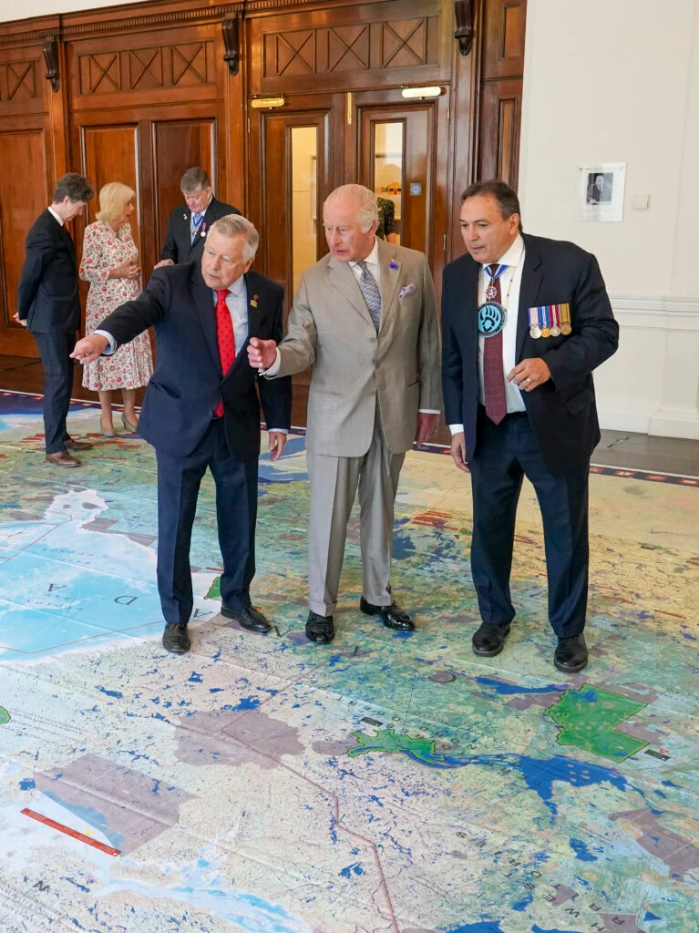
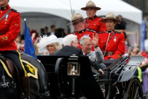
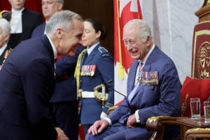
Inside, the King and Queen of Canada paused to explore a giant floor map of the country, a gesture illustrating their deep affection for Canada and, implicitly, rebutting those who would question Canadian sovereignty.
Canada’s High Commissioner to the United Kingdom, Hon. Ralph Goodale, and Deputy High Commissioner Robert Fry were joined on the map by Chief Perry Bellegarde, Honorary President of the Royal Canadian Geographical Society, and Ron Hallman, President and CEO of Parks Canada, where they guided Their Majesties on a tour of Canada’s national parks and historic sites.
The giant floor map was created by Canadian Geographic Education in collaboration with Parks Canada and showcases the full breadth of Canada’s natural and cultural heritage, including every national park, national marine conservation area, and national historic site across the country.
“It was an honour to show Their Majesties some of the most beautiful sites across the country,” said Bellegarde. “King Charles III has dedicated much of his life to protecting nature, and we know how much he values the extraordinary natural heritage that means so much to Canadians.”
Added John Geiger, CEO of the RCGS, “The King has travelled to all of Canada’s provinces and territories, from sea to sea to sea, and has been to some very remote places in the country, even diving in the High Arctic. We are delighted that the King and Queen were able to revisit some of their own experiences in Canada by way of a map that is currently circulating in classrooms across Canada through our education program. Their deep affection for Canada was obvious.”