Environment
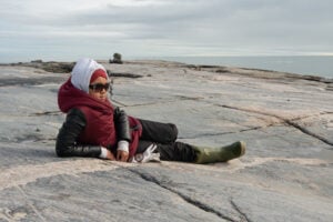
Inside the fight to protect the Arctic’s “Water Heart”
How the Sahtuto’ine Dene of Déline created the Tsá Tué Biosphere Reserve, the world’s first such UNESCO site managed by an Indigenous community
- 1693 words
- 7 minutes
This article is over 5 years old and may contain outdated information.
History
Historian Arthur J. Ray wrote* that many of Canada’s Indigenous people “define themselves in terms of the homelands that sustained their ancestors. These are places where their spiritual roots lie.”
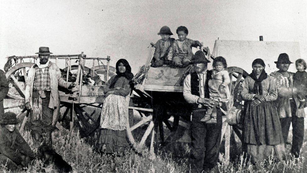
As recent scholarship has shown, the Metis** were “a people on the move.” This does not imply that they were “nomadic” in the sense of randomly moving about without rhyme or reason. On the contrary, they moved with a purpose and their movements were influenced by the waterways, the landscape, the seasons, their means of livelihood, available resources and their alliances and kinship connections with neighbouring Indigenous peoples. If the Metis emerged from marriages à la façon du pays, what shaped them as a people was not so much the genetic make-up of their ancestors as marriage to le pays itself: kinship relations not only within, but with the very territory from which they sprung – or what might be termed a kinscape.
When Louis Riel sang the praises of the exploits of le peuple Métis canadien-français, he spoke of the “brilliant successes” of his people. What is fascinating about Riel’s account is that the areas and peoples he mentions — the Indians of Minnesota, the Dakota tribes, the mountains and prairies of the Northwest, Regina, Montana, Manitoba — all fall within what is today termed the Metis homeland. What is striking about this area is that it more or less corresponds to waterways of the Lake Winnipeg drainage basin – although the Metis kinscape also extended up into the Mackenzie River basin.


Are you passionate about Canadian geography?
You can support Canadian Geographic in 3 ways:
Environment
How the Sahtuto’ine Dene of Déline created the Tsá Tué Biosphere Reserve, the world’s first such UNESCO site managed by an Indigenous community
History
A look back at the early years of the 350-year-old institution that once claimed a vast portion of the globe
People & Culture
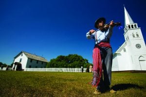
The story of how a critically endangered Indigenous language can be saved
People & Culture
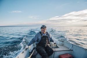
For generations, hunting, and the deep connection to the land it creates, has been a mainstay of Inuit culture. As the coastline changes rapidly—reshaping the marine landscape and jeopardizing the hunt—Inuit youth are charting ways to preserve the hunt, and their identity.