Exploration
Why cave exploration matters
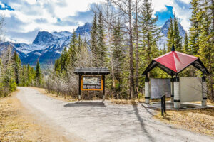
2022 is the International Year of Caves and Karst. Here’s why you should care about the hidden worlds beneath our feet.
- 2517 words
- 11 minutes
Exploration

LOUIS JOLLIET
1645-1700 | Quebec City
Considered the first significant Canadian-born explorer (of European descent). As the king’s hydrographer, he mapped the Mississippi River and much of Lake Superior, the area from Saguenay to Hudson Bay, and the Labrador coast.
DAVID THOMPSON
1770-1857 | Longueuil, Que.

Called “the greatest land geographer who ever lived,” this fur trader, explorer and cartographer mapped more than 4.9 million sq. km of North America, including most of Western Canada. He depended on First Nations for guidance and learned several Indigenous languages.
PETER WARREN DEASE
1788-1863 | Quebec
Fur trader and explorer in the Athabasca and Mackenzie districts. Later, on three expeditions along the Arctic coast, he surveyed all but a small part of the Northwest Passage.
EDWARD BELCHER
1799-1877 | Halifax
Halifax-born naval surveyor and explorer who mapped the Pacific and Bering coasts and more distant regions. Led the largest British Admiralty expedition to find John Franklin and rescued Robert McClure in the process.
INNOOKPOOZHEJOOK
Unknown-ca.1900 | Kitikmeot, Nunavut
A widely travelled member of the Netsilingmiut and the most important source of data on the lost Franklin expedition in the 1850s and ’60s. Provided extensive knowledge of the expedition’s fate to John Rae and later Charles Francis Hall, and drafted a key map of the sites of evidence.
JOSEPH-ELZÉAR BERNIER (FRCGS)
1852-1934 | Lévis, Que.
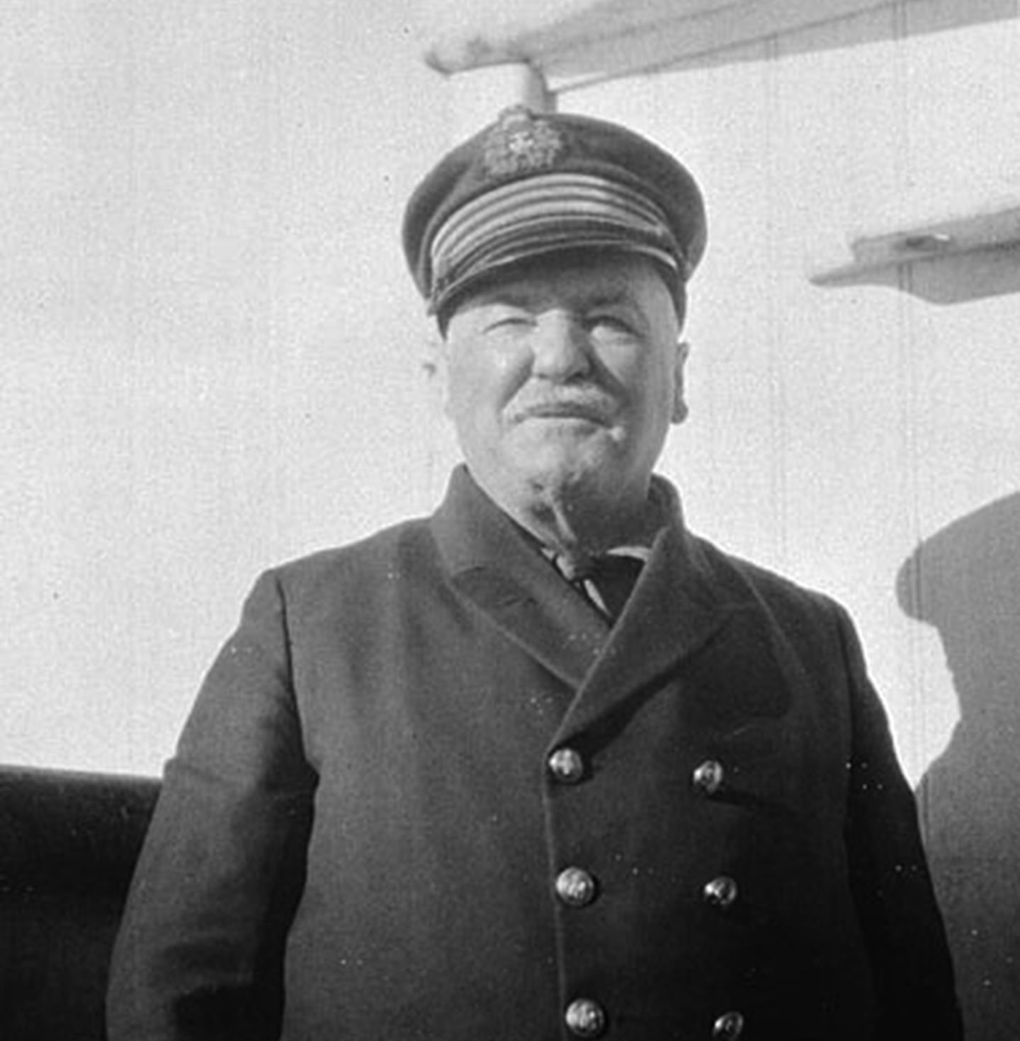
One of Canada’s greatest mariners, leading numerous government expeditions into the Arctic Archipelago and asserting Canada’s claim to all islands between the mainland and North Pole.
JOSEPH BURR TYRRELL (FRCGS)
1858-1957 | Weston, Ont.
A geologist, explorer, cartographer and historian who trekked across and mapped vast regions of the North for the Geological Survey of Canada, discovered rich fossil beds in Alberta and extensive coal deposits in Canada’s West.
MINA BENSON HUBBARD
1870-1956 | Bewdley, Ont.

After her husband’s loss and death in Labrador’s wilderness, she returned and travelled across the wild region, becoming the first Euro-Canadian woman to do so and creating the first maps of the Nascaupee and George River system.
CHARLES CAMSELL (FRCGS)
1876-1958 | Fort Liard, N.W.T.
One of Canada’s foremost geologists and surveyors, founding president of the Royal Canadian Geographical Society. He led the exploration of the unmapped North in the 1910s and was commissioner of the Northwest Territories.
C.S. WRIGHT
1887-1975 | Toronto
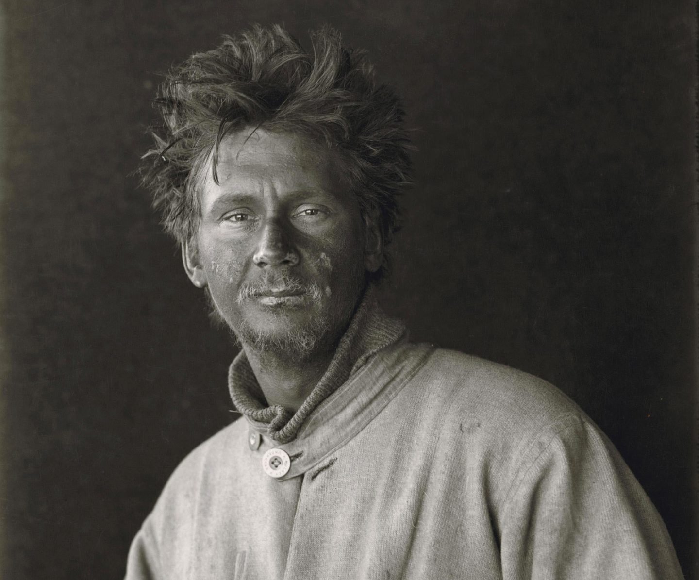
A physicist, glaciologist and Antarctic explorer who was part of Robert Falcon Scott’s Antarctic expedition of 1910-13 (and discovered Scott’s body after he failed to return from the pole). He investigated ice formations and ground radiation, and mapped Victoria Land’s mountains.
SELMA BARKHAM (FRCGS)
1927- | Ottawa
Through pioneering archival and archeological searches, she discovered the existence of a 16th-century Basque whaling industry in Labrador and Quebec. Her research brought worldwide attention and UNESCO World Heritage Site status to the region.
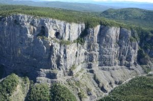
DEREK FORD (FRCGS)
1935- | Orillia, Ont.
Leading academic cave explorer responsible for pioneering studies of caves as records of climate and geomorphic evolution. Developed a comprehensive and in influential theory for the origin of cave systems.
JOHN POLLACK (FRCGS)
1949- | Bonnington, B.C.

A GPS surveyor and researcher with the Institute of Nautical Archaeology, specializing in difficult conditions around the globe. Led a multi-year mission to find, study and map abandoned Klondike-era sternwheelers in the Yukon River.
MARC ST-ONGE (FRCGS)
1955- | Ottawa
Has led geological mapping and research projects from the Coppermine River, N.W.T., and Baffin Island, Nunavut, to Tibet and Nepal. Lead author on more than 120 geological maps, including the Geological Survey of Canada’s first-ever maps in Inuktut. Discovered the world’s oldest rocks in the N.W.T. in the 1980s.
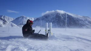
NICHOLAUS VIEIRA
1980- | Banff, Alta.

World cave explorer and guide who spends 200-plus days underground each year. Leader of the multi-year expedition to map Raspberry Rising, a cave in Glacier National Park, B.C., confirmed as the country’s longest marble cave.
Are you passionate about Canadian geography?
You can support Canadian Geographic in 3 ways:
Exploration
2022 is the International Year of Caves and Karst. Here’s why you should care about the hidden worlds beneath our feet.
Science & Tech
Celebrating Canadian Innovation Week 2023 by spotlighting the people and organizations designing a better future
Travel
The trail started with a vision to link Canada coast to coast to coast. Now fully connected, it’s charting an ambitious course for the future.
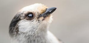
Wildlife
Canada jays thrive in the cold. The life’s work of one biologist gives us clues as to how they’ll fare in a hotter world.