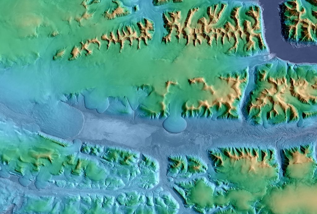
Mapping Satellites produce new ultra-precise topographic map of Earth German satellites TanDEM-X and TerraSAR-X spent five years orbiting Earth in close formation to create 3D global map of unprecedented accuracy 247 words 1 minutes