Results 4

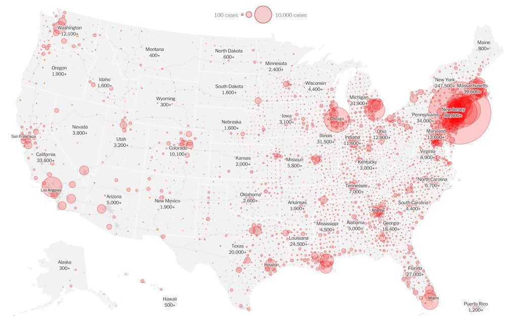
The New York Times COVID-19 map

Mapping

Mapping COVID-19: How maps make us feel

Canadian Geographic cartographer Chris Brackley continues his exploration of how the world is charting the COVID-19 pandemic, this time looking at how artistic choices inform our reactions to different maps

  • 1145 words
  • 5 minutes
Shene Catholique Valpy and her daughter Sahᾴí̜ʔᾳ.

People & Culture

Portraits of the North in isolation

Yellowknife-based photographer Pat Kane’s latest portrait project reveals how northern families are coping with self-isolation and physical distancing in the time of COVID-19

  • 309 words
  • 2 minutes

Mapping

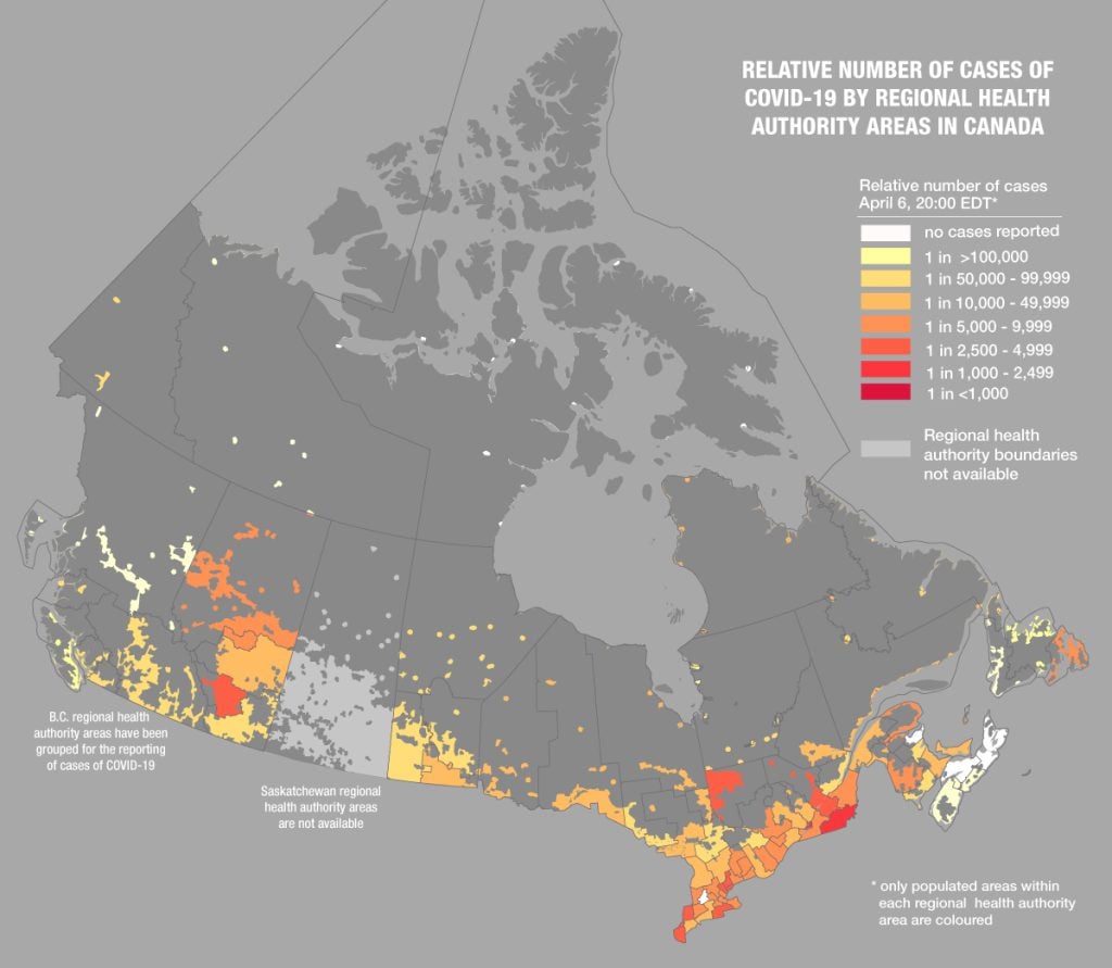
Mapping COVID-19 cases in Canada per capita

Canadian Geographic cartographer Chris Brackley continues his exploration of charting the coronavirus pandemic 

  • 743 words
  • 3 minutes
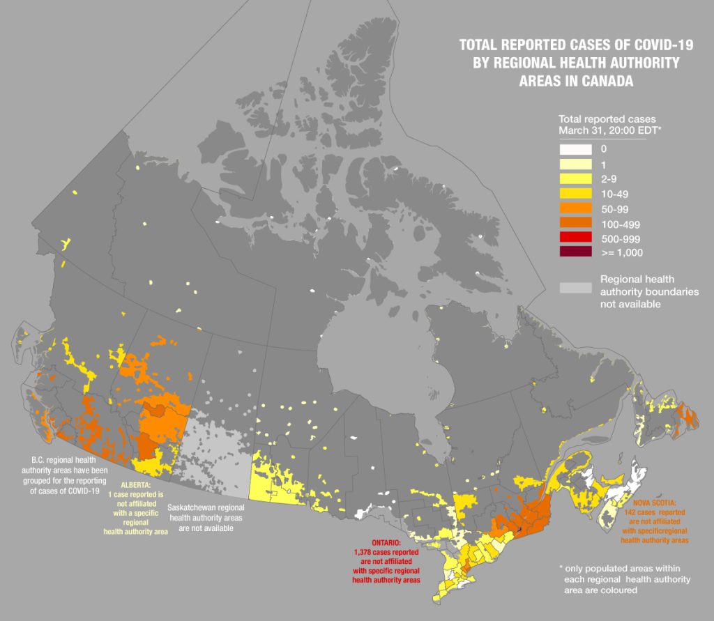
number of reported Canadian cases of COVID-19 by regional health authority

Mapping

What are maps really saying about COVID-19 in Canada?

Canadian Geographic’s cartographer explores how media, scientists and citizens are charting the coronavirus pandemic

  • 1180 words
  • 5 minutes