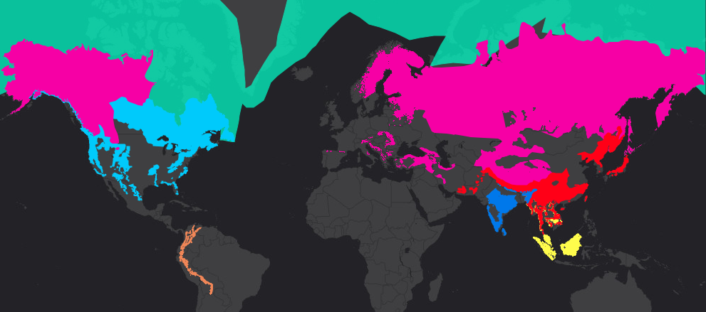
Canada boasts three of the world’s eight bear species. This brightly-coloured map helps show the areas they all call home.
“We wanted to provide an interactive map that educators, kids and the public can use to explore where our eight bear species live and learn more about these amazing animals,” said Melissa Reynolds-Hogland, executive director of Bear Trust International. She works with businesses, governments and NGOs to pool resources for bear conservation worldwide. “We hope that the map will help ignite interest in bear conservation and in wildlife conservation in general.”
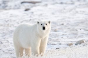
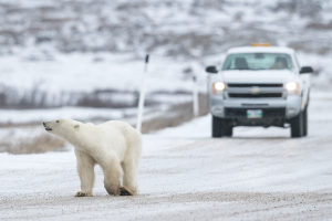
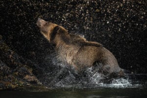
Along the left edge of the Bears of the World map is a long black column. As you scroll, the map changes, zooming first into the habitat area of American black bears (light blue) before continuing on to Asiatic black bears (red), Brown bears (pink), Giant panda bears (green), Polar bears (mint green), Sloth bears (dark blue), Spectacled bears (orange) and Sun bears (yellow).
In addition to highlighting the whereabouts of each species, the map’s key is filled with fun facts about bear conservation issues, population demographics, life expectancy rates and other diet and hibernation information.
“Most folks don’t know that there are eight bear species, and most folks don’t know where the eight different species live. Did you know that there are four different species of bears living in India? How many bear species live in South America? These are just some of the questions you can explore using our interactive map,” said Reynolds-Hogland.
The links under each bear photo also redirect to lesson plans and other materials like The Bear Book Vol II, a Bear Trust education publication.
The (mostly free) educational resources are for students in grades 9-12. The materials meet Next Generation Standards, Common Core State Standards and STEM Guidelines.
The map and web lesson plan is the result of a collaborative project between Blue Raster, a mapping and GIS application company in Arlington, Virginia, and Bear Trust International, a nonprofit organization committed to strengthening ecosystem viability for bears and other wildlife through education and conservation efforts.