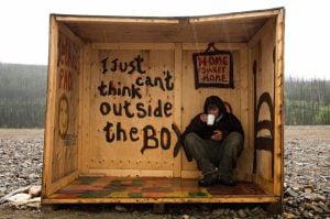
Travel
The spell of the Yukon
An insider’s account of the modern-day gold rush
- 4210 words
- 17 minutes
This article is over 5 years old and may contain outdated information.
Mapping


“It contains some good houses, and stores … and all the appendages of an extensive military, and naval establishment, with as much society as can reasonably be expected, in a town so lately created from the ‘howling desert.’ “
One wonders what Lt. Francis Hall would make of Kingston, Ont., today, 200 years after he penned this blunt assessment of the settlement for his travelogue Travels in Canada, and the United States, in 1816 and 1817.
As a British Army officer, Hall would have been keenly aware of Kingston’s military and strategic importance during and after the War of 1812, a fact acknowledged in the title of his otherwise bucolic painting Kingston Dockyards and Citadel from the Town, shown below. Indeed, Hall might have had much to discuss with fellow soldier Lt. E.A. Smith, who created the map above in the same month Hall visited Kingston, which in less than a decade would be twice as large as York, as Toronto was then known.
With files from Isabelle Charron, early cartographic archivist, Library and Archives Canada

Are you passionate about Canadian geography?
You can support Canadian Geographic in 3 ways:
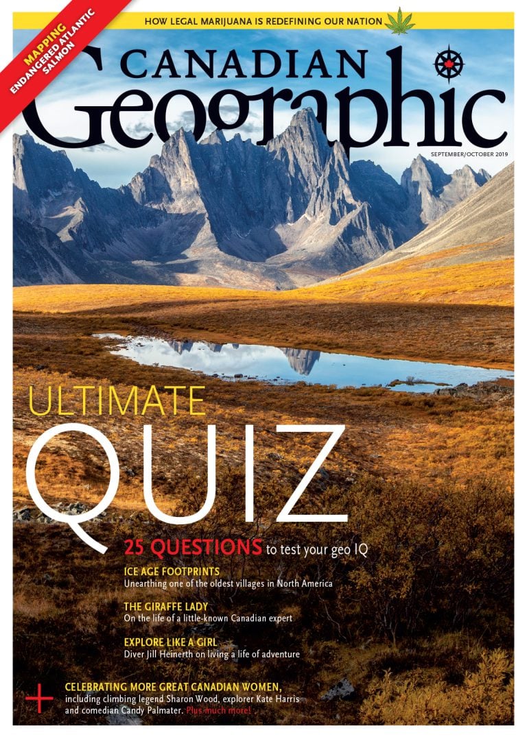
This story is from the September/October 2019 Issue
Travel
An insider’s account of the modern-day gold rush

Mapping
Maps have long played a critical role in video games, whether as the main user interface, a reference guide, or both. As games become more sophisticated, so too does the cartography that underpins them.

Kids
Canadian Geographic Education’s series of giant floor maps gives students a colossal dose of cartography and is a powerful teaching tool
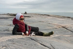
People & Culture
For generations, hunting, and the deep connection to the land it creates, has been a mainstay of Inuit culture. As the coastline changes rapidly—reshaping the marine landscape and jeopardizing the hunt—Inuit youth are charting ways to preserve the hunt, and their identity.